North East Lincolnshire
North East Lincolnshire/DM/0271/26/TCA
5 Park Drive Grimsby North East Lincolnshire DN32 0EE
- Reference
- North East Lincolnshire/DM/0271/26/TCA
- Authority
- North East Lincolnshire
- Application type
- Trees in conservation area
- Address
- 5 Park Drive Grimsby North East Lincolnshire DN32 0EE
- Postcode
- DN32 0EE
- Status
- Decided
- Decision
- Approved
- Received
- 14 Apr 2026
- Validated
- 14 Apr 2026
- Started
- 14 Apr 2026
- Decided
- 15 May 2026
- Source council
- North East Lincolnshire
- Council source record
- View public record
- Public data licence
- Open Government Licence v3.0
- Record updated
- 18 Jul 2026
- SEO index generated
- 24 Jul 2026
Location
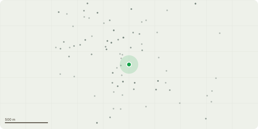
Approximate location
Proposal
Tree Description: Two mature Lime Trees (Tilia spp.). Located adjacent to roadside boundary. Trees are of significant height with evident epicormic re growth and areas of deadwood throughout the crownScope of Works1. Deadwood Removal: Remove all dead, dying, and diseased wood throughout the crown of both trees. Includes branches of all diameters where reasonably practicable. Aim to improve safety and overall tree health2. Epicormic Growth Reduction: Reduce approximately 30% of epicormic growth on both trees. Focus on: Dense clusters along main stems and lower scaffold limbs. Crossing and congested shoots. Retain sufficient growth to maintain tree vitality and natural formT3 Silver Birch (Betula pendula) Proposed Works Description: Reduce the crown of the mature Silver Birch by approximately 20% to improve overall shape, form, and crown density. Works will consist of selective reduction pruning, cutting back to suitable secondary growth points in accordance with good arboricultural practice (BS3998:2010).The reduction will: Maintain the natural form and visual amenity of the tree. Reduce elongated and pendulous growth to create a more compact crown. Avoid the creation of large wounds by targeting appropriate growth points. Ensure balanced weight distribution throughout the canopy.All works will be carried out sympathetically, retaining the trees characteristic light canopy and ensuring no over-reduction or topping occurs.
Key dates
- Received 14 Apr 2026
- Validated 14 Apr 2026
- Started 14 Apr 2026
- Decided 15 May 2026
Planning history / related applications
No related planning applications have been identified in the current public OGL dataset.
Inside plotEdge
Go beyond the public record
This page is the public OGL record. plotEdge adds the private intelligence layer for this site - open it in the app to unlock:
- Ownership & title Registered owner and title from HM Land Registry.
- Viability & build potential Site scoring and development upside.
- Constraints Flood risk, green belt, conservation areas and designations.
- Approval signal Planning risk and approval-likelihood analysis.
- Comparable applications Decisions on similar nearby sites, side by side.
- Status alerts Get notified the moment this application changes.
Source: public planning application data from North East Lincolnshire, reused under the Open Government Licence v3.0. View the council source record. Council documents and drawings are not republished on plotEdge.