North East Lincolnshire
North East Lincolnshire/DM/0144/25/TPO
The Grove Residential Home Ings Lane Waltham North East Lincolnshire DN37 0HB
- Reference
- North East Lincolnshire/DM/0144/25/TPO
- Authority
- North East Lincolnshire
- Application type
- Tree preservation order
- Address
- The Grove Residential Home Ings Lane Waltham North East Lincolnshire DN37 0HB
- Postcode
- DN37 0HB
- Status
- Decided
- Decision
- Approved with Conditions
- Received
- 27 Feb 2025
- Validated
- 27 Feb 2025
- Started
- 27 Feb 2025
- Decided
- 24 Apr 2025
- Source council
- North East Lincolnshire
- Council source record
- View public record
- Public data licence
- Open Government Licence v3.0
- Record updated
- 18 Jul 2026
- SEO index generated
- 24 Jul 2026
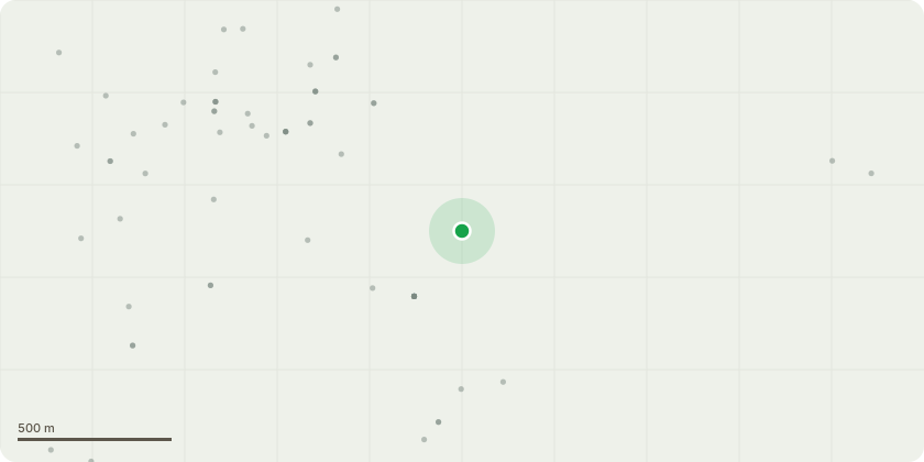
Location
Approximate location
Proposal
T1 conifer & T2 holly - fell to ground level to clear streetlight and sycamores (not covered by TPO) T3 & T4 - poor understory sycamores, fell. (not covered by TPO)T5 - Sycamore, remove dead wood over street light.T6 - Sycamore, inspect cavity over fence. ( No works specification given)T7 - Elm, fell as dead. (not covered by TPO)T8 & T9 sycamore next to T7 - remove limbs closest toroof. (Only one of these trees are covered by TPO and that is likeley to be thye largest of the sycamores, being T9 of the Order) T10 - large sycamore, fell due to been half dead.T11 - remove squirrel damaged regrowth to leave habitatstem. (no species given) T12 - large sycamore next to T10, reduce low stem back tofirst growth point to clear roof. Reduce lateral growth aboveby 3m to clear building.T13 - Large beech, inspect cavity in main fork and checkbracing integrity. Clear building by 2m and crown lift to 5magl.T14 - dead sycamore with decay in main stem at 12ft. FellT15 & T16 - holly, crown lift to 4m agl (not covered by TPO)T17 - sycamore, reduce low limb over roof to large lateralgrowth pointRing all ivy to aid future inspections.Remove major (over 2" dia) Dead wood over footpaths
Key dates
- Received 27 Feb 2025
- Validated 27 Feb 2025
- Started 27 Feb 2025
- Decided 24 Apr 2025
Planning history / related applications
No related planning applications have been identified in the current public OGL dataset.
Inside plotEdge
Go beyond the public record
This page is the public OGL record. plotEdge adds the private intelligence layer for this site - open it in the app to unlock:
- Ownership & title Registered owner and title from HM Land Registry.
- Viability & build potential Site scoring and development upside.
- Constraints Flood risk, green belt, conservation areas and designations.
- Approval signal Planning risk and approval-likelihood analysis.
- Comparable applications Decisions on similar nearby sites, side by side.
- Status alerts Get notified the moment this application changes.
Source: public planning application data from North East Lincolnshire, reused under the Open Government Licence v3.0. View the council source record. Council documents and drawings are not republished on plotEdge.