North East Lincolnshire
North East Lincolnshire/DM/0003/26/TPO
Treyarnon Lodge 2 Nicholson Road Healing North East Lincolnshire DN41 7RX
- Reference
- North East Lincolnshire/DM/0003/26/TPO
- Authority
- North East Lincolnshire
- Application type
- Tree preservation order
- Address
- Treyarnon Lodge 2 Nicholson Road Healing North East Lincolnshire DN41 7RX
- Postcode
- DN41 7RX
- Status
- Decided
- Decision
- Approved with Conditions
- Received
- 2 Jan 2026
- Validated
- 2 Jan 2026
- Started
- 2 Jan 2026
- Decided
- 4 Feb 2026
- Source council
- North East Lincolnshire
- Council source record
- View public record
- Public data licence
- Open Government Licence v3.0
- Record updated
- 18 Jul 2026
- SEO index generated
- 24 Jul 2026
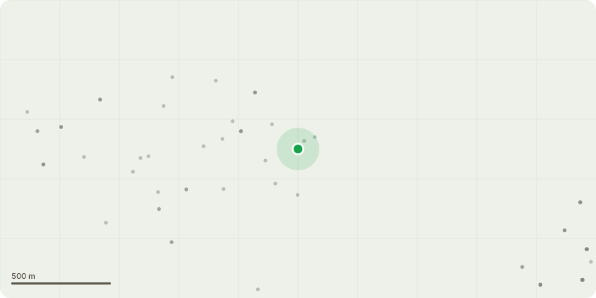
Location
Approximate location
Proposal
Tree is marked with a red dot in the image 'Opie 5' and is a Grey Poplar. We hold no previous survey information for the site and so for the purposes of this application will call the tree 'T1'. The tree has a significant lean towards the neighbouring property due to an exploitation of the light and slower growing surrounding species. There is also a visible fracture or inclusion running up the main stem from ground level and the client is convinced of movement in the floor with more lean more recently. Client wishes to remove the tree to allow the other surrounding trees to flourish and is not unwilling to replant with a more suitable species given it's location.
Key dates
- Received 2 Jan 2026
- Validated 2 Jan 2026
- Started 2 Jan 2026
- Decided 4 Feb 2026
Planning history / related applications
No related planning applications have been identified in the current public OGL dataset.
Inside plotEdge
Go beyond the public record
This page is the public OGL record. plotEdge adds the private intelligence layer for this site - open it in the app to unlock:
- Ownership & title Registered owner and title from HM Land Registry.
- Viability & build potential Site scoring and development upside.
- Constraints Flood risk, green belt, conservation areas and designations.
- Approval signal Planning risk and approval-likelihood analysis.
- Comparable applications Decisions on similar nearby sites, side by side.
- Status alerts Get notified the moment this application changes.
Source: public planning application data from North East Lincolnshire, reused under the Open Government Licence v3.0. View the council source record. Council documents and drawings are not republished on plotEdge.