North East Derbyshire
North East Derbyshire/26/00122/LB
Crown Inn Main Road Higham Alfreton DE55 6EH
- Reference
- North East Derbyshire/26/00122/LB
- Authority
- North East Derbyshire
- Application type
- Listed building consent
- Address
- Crown Inn Main Road Higham Alfreton DE55 6EH
- Postcode
- DE55 6EH
- Status
- pending
- Received
- 17 Feb 2026
- Started
- 17 Feb 2026
- Source council
- North East Derbyshire
- Council source record
- View public record
- Public data licence
- Open Government Licence v3.0
- Record updated
- 18 Jul 2026
- SEO index generated
- 24 Jul 2026
Location
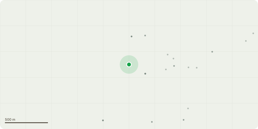
Approximate location
Proposal
Listed Building Consent for the removal of existing ground floor finishes and ground-bearing floor build-ups and the excavation (where required) to enable installation of new ground floor construction across the ground floor of the Former Crown Inn, including associated damp/radon protection and insulation, together with any necessary localised underpinning and making good, together with localised structural remedial works beneath the stairwell in Cottage 1 including void infill, concrete lintel support to the unsupported wall above, and associated support to adjacent walling, all using staged, conservation-led methods. This application also seeks formal approval for all areas of test pitting performed and removal of exclusively modern concrete screed/slabs to allow for proper investigation of floor build up. (Listed Building) (Conservation Area) (Affecting the setting of a Listed Building) (amended title).
Key dates
- Received 17 Feb 2026
- Started 17 Feb 2026
Planning history / related applications
No related planning applications have been identified in the current public OGL dataset.
Inside plotEdge
Go beyond the public record
This page is the public OGL record. plotEdge adds the private intelligence layer for this site - open it in the app to unlock:
- Ownership & title Registered owner and title from HM Land Registry.
- Viability & build potential Site scoring and development upside.
- Constraints Flood risk, green belt, conservation areas and designations.
- Approval signal Planning risk and approval-likelihood analysis.
- Comparable applications Decisions on similar nearby sites, side by side.
- Status alerts Get notified the moment this application changes.
Source: public planning application data from North East Derbyshire, reused under the Open Government Licence v3.0. View the council source record. Council documents and drawings are not republished on plotEdge.