Newham
Newham/26/00830/CLP
66 Park Grove Stratford London E15 3QT
- Reference
- Newham/26/00830/CLP
- Authority
- Newham
- Application type
- Certificate of lawfulness (proposed)
- Address
- 66 Park Grove Stratford London E15 3QT
- Postcode
- E15 3QT
- Decision
- Approve
- Received
- 21 Apr 2026
- Validated
- 21 Apr 2026
- Started
- 21 Apr 2026
- Decided
- 16 Jun 2026
- Source council
- Newham
- Council source record
- View public record
- Public data licence
- Open Government Licence v3.0
- Record updated
- 18 Jul 2026
- SEO index generated
- 24 Jul 2026
Location
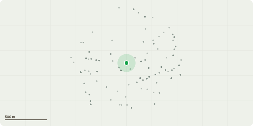
Approximate location
Proposal
Certificate of Lawfulness (proposed) for the erection of a rear outbuildingThe building will be timber-framed and clad in horizontal painted timber weatherboarding, with expressed vertical timber elements. It will incorporate three multi-pane timber-framed windows on the north elevation facing the rear elevation of 66 Park Grove (dwelling house), painted timber doors with multi-pane glazing, and a roof light with an aluminium finish.The studio will have a flat roof with a GRP covering laid to falls towards the north, with a maximum height of 2.5 metres measured from existing ground level. The internal floor level will be set approximately 0.6 metres below external ground level to provide adequate internal headroom.The building will include a WC with mechanical extract ventilation. Rainwater will be collected via a painted metal gutter and discharged to a water butt within the garden.The proposal does not include the formation of new access points, hardstanding, or means of enclosure. No changes to ground levels are proposed other than the localised excavation required to accommodate the sunken floor slab.
Key dates
- Received 21 Apr 2026
- Validated 21 Apr 2026
- Started 21 Apr 2026
- Decided 16 Jun 2026
Planning history / related applications
No related planning applications have been identified in the current public OGL dataset.
Inside plotEdge
Go beyond the public record
This page is the public OGL record. plotEdge adds the private intelligence layer for this site - open it in the app to unlock:
- Ownership & title Registered owner and title from HM Land Registry.
- Viability & build potential Site scoring and development upside.
- Constraints Flood risk, green belt, conservation areas and designations.
- Approval signal Planning risk and approval-likelihood analysis.
- Comparable applications Decisions on similar nearby sites, side by side.
- Status alerts Get notified the moment this application changes.
Source: public planning application data from Newham, reused under the Open Government Licence v3.0. View the council source record. Council documents and drawings are not republished on plotEdge.