Newham
Newham/24/02571/VAR
158 Katherine Road East Ham London E6 1ER
- Reference
- Newham/24/02571/VAR
- Authority
- Newham
- Application type
- Variation of condition
- Address
- 158 Katherine Road East Ham London E6 1ER
- Postcode
- E6 1ER
- Decision
- Approve
- Received
- 13 Dec 2024
- Validated
- 13 Dec 2024
- Started
- 13 Dec 2024
- Decided
- 6 Feb 2025
- Source council
- Newham
- Council source record
- View public record
- Public data licence
- Open Government Licence v3.0
- Record updated
- 18 Jul 2026
- SEO index generated
- 24 Jul 2026
Location
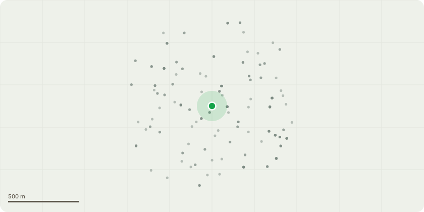
Approximate location
Proposal
Section 73 application to vary Condition 2 (Development in accordance with Approved Plans) - Alteration to current layout on ground floor plan; redesign of two flats on the ground floor to suit the structure with improved space standards and amenity; alterations of the 1 x 1 bed flat layout to make it more spacious and provide ample daylight into the flat and add a fire protected lobby; approved amenity space is a private yard with 1.8m high fence, which is now open to the sky and no longer below the building above; enlargement of 4 bedroom flat layout providing wheelchair accessibility, with added windows and glazing; enlargement of private yards with large store; altering cycle storage to provide increased number of spaces for the residents and manoeuvring space; rear access controlled via fob system; front 2-bedroom flat has been adjusted, converting it from a 2b4p to a 2b3p configuration, attached to planning permission 17/03028/FUL dated 7th December 2017, which granted planning permission for:"Conversion of existing commercial premises, rebuilt rear conservatory to the rear of the second floor, internal & external remodelling to form 9 self-contained dwelling flats. Flats comprising of 1 x 1 bedroom, 4x2 bedrooms, 3 x 3 bedrooms and 1 x 4 bedroom."
Key dates
- Received 13 Dec 2024
- Validated 13 Dec 2024
- Started 13 Dec 2024
- Decided 6 Feb 2025
Planning history / related applications
No related planning applications have been identified in the current public OGL dataset.
Inside plotEdge
Go beyond the public record
This page is the public OGL record. plotEdge adds the private intelligence layer for this site - open it in the app to unlock:
- Ownership & title Registered owner and title from HM Land Registry.
- Viability & build potential Site scoring and development upside.
- Constraints Flood risk, green belt, conservation areas and designations.
- Approval signal Planning risk and approval-likelihood analysis.
- Comparable applications Decisions on similar nearby sites, side by side.
- Status alerts Get notified the moment this application changes.
Source: public planning application data from Newham, reused under the Open Government Licence v3.0. View the council source record. Council documents and drawings are not republished on plotEdge.