Newham
Newham/24/02339/OUT
Thames Road Industrial Estate Thames Road Silvertown London E16 2EZ
- Reference
- Newham/24/02339/OUT
- Authority
- Newham
- Application type
- Outline permission
- Address
- Thames Road Industrial Estate Thames Road Silvertown London E16 2EZ
- Postcode
- E16 2EZ
- Received
- 5 Dec 2024
- Validated
- 5 Dec 2024
- Started
- 5 Dec 2024
- Source council
- Newham
- Council source record
- View public record
- Public data licence
- Open Government Licence v3.0
- Record updated
- 18 Jul 2026
- SEO index generated
- 24 Jul 2026
Location
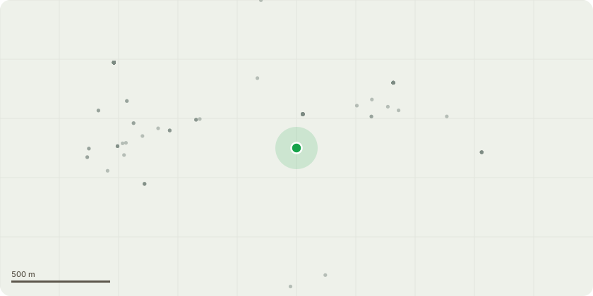
Approximate location
Proposal
Hybrid planning application for the demolition of all existing buildings and structures on site to facilitate a mixed-use development comprising up to 222,796sqm GEA in outline with details submitted for part of the development.Detailed Component: Detailed planning permission to include erection of 5 development plots ranging in building heights from 4 to 16 storeys and comprising a total of 774 residential units (up to 84,674sqm GEA Class C3 residential floorspace) and ancillary residential facilities (Class C3); purpose built shared living accommodation comprising 359 co-living units over 22,399 sqm GEA (Sui Generis Use), 13,560sqm GEA industrial floorspace (Class E(g) / B8) and 1,236sqm GEA flexible commercial, business and service (Class E) uses, provision of new pedestrian and vehicular access and associated new open space, landscaping, car and cycle parking and associated infrastructure works including remediation and river wall works.Outline Component: Outline planning permission to include the erection of 7 development plots ranging in building heights from 3 to 18 storeys and comprising a total of 911 residential units (up to 91,882sqm GEA Class C3 residential floorspace) and ancillary residential facilities (Class C3); a total of 9,046 sqm GEA of non-residential floorspace comprising education (Class F1), flexible commercial, business and service (Class E) and nursery / community (Class E(f) / F2) uses, provision of new pedestrian and vehicular access and associated new open space, landscaping, car and cycle parking and other associated infrastructure works with all matters reserved for future consideration.THIS APPLICATION IS ACCOMPANIED BY AN ENVIRONMENTAL STATEMENT UNDER THE TOWN AND COUNTRY PLANNING (ENVIRONMENTAL IMPACT ASSESSMENT) REGULATIONS 2017 (AS AMENDED). THIS APPLICATION IS A DEPARTURE FROM THE LOCAL PLAN. THIS APPLICATION AFFECTS THE SETTING OF GRADE II* AND GRADE II LISTED BUILDINGS AND STRUCTURES
Key dates
- Received 5 Dec 2024
- Validated 5 Dec 2024
- Started 5 Dec 2024
Planning history / related applications
No related planning applications have been identified in the current public OGL dataset.
Inside plotEdge
Go beyond the public record
This page is the public OGL record. plotEdge adds the private intelligence layer for this site - open it in the app to unlock:
- Ownership & title Registered owner and title from HM Land Registry.
- Viability & build potential Site scoring and development upside.
- Constraints Flood risk, green belt, conservation areas and designations.
- Approval signal Planning risk and approval-likelihood analysis.
- Comparable applications Decisions on similar nearby sites, side by side.
- Status alerts Get notified the moment this application changes.
Source: public planning application data from Newham, reused under the Open Government Licence v3.0. View the council source record. Council documents and drawings are not republished on plotEdge.