Newham
Newham/24/01698/VAR
Newham Collegiate Sixth Form Centre 4 High Street South East Ham London E6 6ES
- Reference
- Newham/24/01698/VAR
- Authority
- Newham
- Application type
- Variation of condition
- Address
- Newham Collegiate Sixth Form Centre 4 High Street South East Ham London E6 6ES
- Postcode
- E6 6ES
- Decision
- Application Withdrawn
- Received
- 2 Sept 2024
- Validated
- 2 Sept 2024
- Started
- 2 Sept 2024
- Decided
- 11 Oct 2024
- Source council
- Newham
- Council source record
- View public record
- Public data licence
- Open Government Licence v3.0
- Record updated
- 18 Jul 2026
- SEO index generated
- 24 Jul 2026
Location
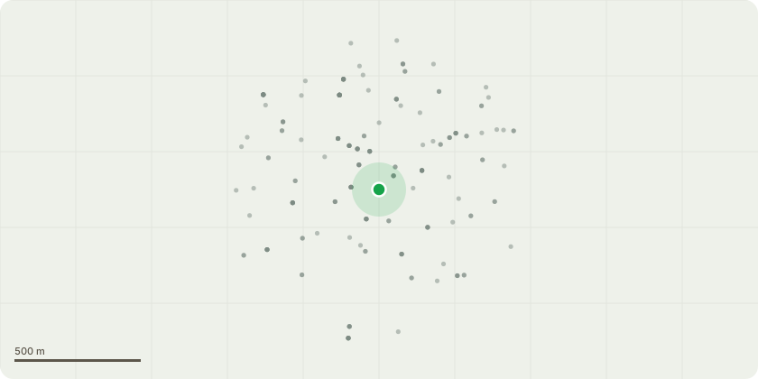
Approximate location
Proposal
Section 73 application to remove or vary Condition 21 (Obscured Glazing) windows to the first floor on the north and west elevations of the new build should have obscured glazing up to 1.8m AFL attached to planning permission 20/02772/FUL dated 10th November 2022 which granted full planning permission for:'Erection of a new two storey educational building to the rear of the site with a single storey link, with internal and external alterations / modifications associated with the refurbishment of the former police station to accommodate an educational use (Class F.1a), together with a new lift to the former police station, landscaping, plant, cycle parking, car parking and other associated works'(This is a Grade II Listed Building - Police Station With Walls and Gate Piers To Side)(Affects the setting of other Listed Buildings; Council Offices Grade II, Fellowship House Grade II, Technical College Grade II, Newham Council Offices Grade II*, Wall To East Ham Town Hall, Technical College and Library Turning Corner Down High Street South To The Council Offices Grade II, Public Library Grade II and The Denmark Arms Public House Grade II)(Affects setting of other Locally Listed Buildings)(The site falls within East Ham Town Centre Conservation Area)
Key dates
- Received 2 Sept 2024
- Validated 2 Sept 2024
- Started 2 Sept 2024
- Decided 11 Oct 2024
Planning history / related applications
No related planning applications have been identified in the current public OGL dataset.
Inside plotEdge
Go beyond the public record
This page is the public OGL record. plotEdge adds the private intelligence layer for this site - open it in the app to unlock:
- Ownership & title Registered owner and title from HM Land Registry.
- Viability & build potential Site scoring and development upside.
- Constraints Flood risk, green belt, conservation areas and designations.
- Approval signal Planning risk and approval-likelihood analysis.
- Comparable applications Decisions on similar nearby sites, side by side.
- Status alerts Get notified the moment this application changes.
Source: public planning application data from Newham, reused under the Open Government Licence v3.0. View the council source record. Council documents and drawings are not republished on plotEdge.