Newcastle-under-Lyme
Newcastle-under-Lyme/26/00231/TCA
30 Tittensor Road Newcastle Under Lyme Staffordshire ST5 3BS
- Reference
- Newcastle-under-Lyme/26/00231/TCA
- Authority
- Newcastle-under-Lyme
- Application type
- Trees in conservation area
- Address
- 30 Tittensor Road Newcastle Under Lyme Staffordshire ST5 3BS
- Postcode
- ST5 3BS
- Status
- Unknown
- Decision
- Not Covered by Tree Preservation Order
- Received
- 19 Mar 2026
- Started
- 19 Mar 2026
- Decided
- 1 May 2026
- Source council
- Newcastle-under-Lyme
- Council source record
- View public record
- Public data licence
- Open Government Licence v3.0
- Record updated
- 18 Jul 2026
- SEO index generated
- 24 Jul 2026
Location
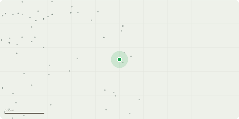
Approximate location
Proposal
The applicant has already reached out to Staffordshire council through the planning portal under the reference GTW004814 asking about cutting branches coming from the lower part of the tree that overhang both their/ their neighbours driveways. These branches have been cut back to the stem before in these areas as they hang over the boundary line of both properties. We are asking to cut back to behind the boundary areas, lifting the lower branches as the tree has reacted positively to this same type of cutting before. There is further work that the applicant wants doing to the rest of the tree, but as it resides outside of their boundary they would need council permission to start any work. In previous years the tree has been maintained, however more recently the tree has been left to grow larger and in summer when in leaf it is completely overshadowing both the applicants and the neighbours property. We are suggesting that the tree undergoes a crown reduction of around 20-30% in order to maintain the trees natural shape but bring in the canopy of the tree reducing the size all the way around, promoting light coming through, more healthy growth and keeping it from growing too large and unmanageable.
Key dates
- Received 19 Mar 2026
- Started 19 Mar 2026
- Decided 1 May 2026
Planning history / related applications
No related planning applications have been identified in the current public OGL dataset.
Inside plotEdge
Go beyond the public record
This page is the public OGL record. plotEdge adds the private intelligence layer for this site - open it in the app to unlock:
- Ownership & title Registered owner and title from HM Land Registry.
- Viability & build potential Site scoring and development upside.
- Constraints Flood risk, green belt, conservation areas and designations.
- Approval signal Planning risk and approval-likelihood analysis.
- Comparable applications Decisions on similar nearby sites, side by side.
- Status alerts Get notified the moment this application changes.
Source: public planning application data from Newcastle-under-Lyme, reused under the Open Government Licence v3.0. View the council source record. Council documents and drawings are not republished on plotEdge.