Newcastle-under-Lyme
Newcastle-under-Lyme/26/00161/TWA
Evergreen Manor Road Baldwins Gate Newcastle Under Lyme Staffordshire CW3 9PT
- Reference
- Newcastle-under-Lyme/26/00161/TWA
- Authority
- Newcastle-under-Lyme
- Application type
- TWA
- Address
- Evergreen Manor Road Baldwins Gate Newcastle Under Lyme Staffordshire CW3 9PT
- Postcode
- CW3 9PT
- Status
- Application Permitted
- Decision
- Permit
- Received
- 6 Mar 2026
- Started
- 6 Mar 2026
- Decided
- 5 May 2026
- Source council
- Newcastle-under-Lyme
- Council source record
- View public record
- Public data licence
- Open Government Licence v3.0
- Record updated
- 18 Jul 2026
- SEO index generated
- 24 Jul 2026
Location
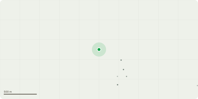
Approximate location
Proposal
The tree in question is a silver birch located at the rear of property close to the house just in the border of the customers lawn. The work we would like to carry out is full removal of the silver birch using rope and harness to climb and rigging equipment to safely cut it down to as low as possible, this is for multiple reasons;The first of which is that the tree itself has grown on a steep embankment that falls away quite severely to the neighbours garden and as recent weather conditions have been both wet and windy then the customer is worried if the tree comes down it could cause damage to either their or their neighbours property.The tree is also covered in ivy which adds significant weight to branches and the trunk which if left will continue to grow around the tree and increase the risk of breakages and damage to the house and electric cables below. Finally the customer has relayed worries to me that some of the branches are now starting to get too close to the house so before this becomes an issue we would like to prevent it.There is already a smaller silver birch close to the base of the tree on the right hand side we are looking to cut down so the customer has mentioned they are happy to keep that or would plant a replacement tree if needed of the same species in a different area of the garden.
Key dates
- Received 6 Mar 2026
- Started 6 Mar 2026
- Decided 5 May 2026
Planning history / related applications
No related planning applications have been identified in the current public OGL dataset.
Inside plotEdge
Go beyond the public record
This page is the public OGL record. plotEdge adds the private intelligence layer for this site - open it in the app to unlock:
- Ownership & title Registered owner and title from HM Land Registry.
- Viability & build potential Site scoring and development upside.
- Constraints Flood risk, green belt, conservation areas and designations.
- Approval signal Planning risk and approval-likelihood analysis.
- Comparable applications Decisions on similar nearby sites, side by side.
- Status alerts Get notified the moment this application changes.
Source: public planning application data from Newcastle-under-Lyme, reused under the Open Government Licence v3.0. View the council source record. Council documents and drawings are not republished on plotEdge.