Newcastle-under-Lyme
Newcastle-under-Lyme/26/00060/TWA
2 The Limes Newcastle Under Lyme Staffordshire ST5 8QX
- Reference
- Newcastle-under-Lyme/26/00060/TWA
- Authority
- Newcastle-under-Lyme
- Application type
- TWA
- Address
- 2 The Limes Newcastle Under Lyme Staffordshire ST5 8QX
- Postcode
- ST5 8QX
- Status
- Split Decision
- Decision
- Split decision
- Received
- 26 Jan 2026
- Started
- 26 Jan 2026
- Decided
- 12 Mar 2026
- Source council
- Newcastle-under-Lyme
- Council source record
- View public record
- Public data licence
- Open Government Licence v3.0
- Record updated
- 18 Jul 2026
- SEO index generated
- 24 Jul 2026
Location
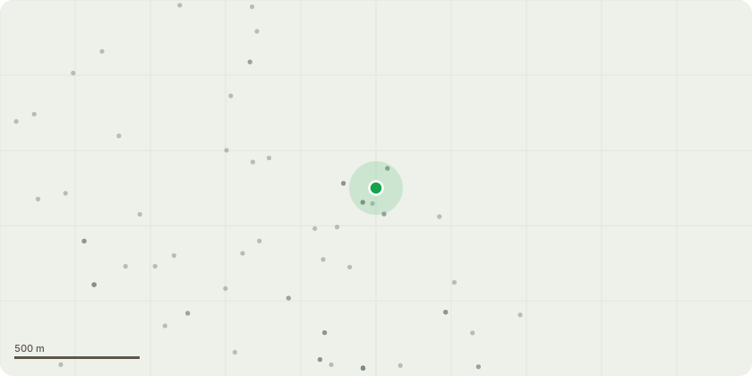
Approximate location
Proposal
A mature lime tree located in the rear garden has been shedding large branches for an extended period, creating a significant safety hazard. The size and frequency of the falling branches make the garden unsafe for my family, including my young daughter age 4, who can not safely play in her own garden and never been able to do so.During the week commencing 19 January 2026, a falling branch struck my husband?s arm and then hit our dog as it fell to the ground. These ongoing incidents are causing considerable stress and anxiety, as we do not feel able to use the garden safely.The tree also obstructs natural light from entering the property, and I am increasingly concerned that continued branch loss could cause damage to my home, neighbouring properties, or potentially injure someone.For these reasons, I am proposing that the tree be removed under appropriate professional guidance to prevent serious injury or further damage.
Key dates
- Received 26 Jan 2026
- Started 26 Jan 2026
- Decided 12 Mar 2026
Planning history / related applications
No related planning applications have been identified in the current public OGL dataset.
Inside plotEdge
Go beyond the public record
This page is the public OGL record. plotEdge adds the private intelligence layer for this site - open it in the app to unlock:
- Ownership & title Registered owner and title from HM Land Registry.
- Viability & build potential Site scoring and development upside.
- Constraints Flood risk, green belt, conservation areas and designations.
- Approval signal Planning risk and approval-likelihood analysis.
- Comparable applications Decisions on similar nearby sites, side by side.
- Status alerts Get notified the moment this application changes.
Source: public planning application data from Newcastle-under-Lyme, reused under the Open Government Licence v3.0. View the council source record. Council documents and drawings are not republished on plotEdge.