Newcastle-under-Lyme
Newcastle-under-Lyme/25/00899/TWA
Ashbourne Pinewood Road Ashley Market Drayton Shropshire TF9 4PP
- Reference
- Newcastle-under-Lyme/25/00899/TWA
- Authority
- Newcastle-under-Lyme
- Application type
- TWA
- Address
- Ashbourne Pinewood Road Ashley Market Drayton Shropshire TF9 4PP
- Postcode
- TF9 4PP
- Status
- Application Permitted
- Decision
- Permit
- Received
- 8 Dec 2025
- Started
- 8 Dec 2025
- Decided
- 23 Jan 2026
- Source council
- Newcastle-under-Lyme
- Council source record
- View public record
- Public data licence
- Open Government Licence v3.0
- Record updated
- 18 Jul 2026
- SEO index generated
- 24 Jul 2026
Location
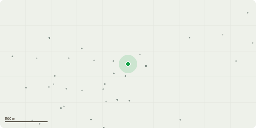
Approximate location
Proposal
T1 Oak ///eggs.keyboards.datesSection fell to ground level due to large cavity in main stem please see pictures T2 Oak ///torches.newer.imprintsOak tree overhanging parking area and garage, wish to carry on regular maintenance with reducing the crown again by up to 2m no cuts larger than 25cm. Removing one larger limb which has had a branch fail leaving it compromised. T3 Oak ///rivals.operation.chiefsAs above, crown reduction up to 2m on the side of Ashbourne house and top to continue cycle of pruning T4 Oak ///universally.thrillersReduction of height and side of Ashbourne house up to 2m to continue cycle of worksT5 Oak ///batches.facelift.gearboxOwned by neighbours, wishing to again reduce and thin canopy by reducing up to 2m and thinking small epicormic growth in the crown carrying on with cycle of works T6 Oak ///batches.facelift.gearbox Reduction of height and side of Ashbourne house up to 2m to continue cycle of worksT7 Oak ///perfectly.skippers.bathsBeing next to the property we wish to reduce by 2m in height and up to 3m on the side of the property where suitable pruning points allow and then to balance the rest of the crown accordingly.
Key dates
- Received 8 Dec 2025
- Started 8 Dec 2025
- Decided 23 Jan 2026
Planning history / related applications
No related planning applications have been identified in the current public OGL dataset.
Inside plotEdge
Go beyond the public record
This page is the public OGL record. plotEdge adds the private intelligence layer for this site - open it in the app to unlock:
- Ownership & title Registered owner and title from HM Land Registry.
- Viability & build potential Site scoring and development upside.
- Constraints Flood risk, green belt, conservation areas and designations.
- Approval signal Planning risk and approval-likelihood analysis.
- Comparable applications Decisions on similar nearby sites, side by side.
- Status alerts Get notified the moment this application changes.
Source: public planning application data from Newcastle-under-Lyme, reused under the Open Government Licence v3.0. View the council source record. Council documents and drawings are not republished on plotEdge.