Newcastle-under-Lyme
Newcastle-under-Lyme/25/00765/TWA
Stoneyfields Court Building Sandy Lane Newcastle Under Lyme Staffordshire ST5 0LT
- Reference
- Newcastle-under-Lyme/25/00765/TWA
- Authority
- Newcastle-under-Lyme
- Application type
- TWA
- Address
- Stoneyfields Court Building Sandy Lane Newcastle Under Lyme Staffordshire ST5 0LT
- Postcode
- ST5 0LT
- Status
- Application Permitted
- Decision
- Permit
- Received
- 13 Oct 2025
- Started
- 13 Oct 2025
- Decided
- 8 Dec 2025
- Source council
- Newcastle-under-Lyme
- Council source record
- View public record
- Public data licence
- Open Government Licence v3.0
- Record updated
- 18 Jul 2026
- SEO index generated
- 24 Jul 2026
Location
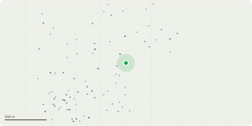
Approximate location
Proposal
Please also see attached document:T03306 LimeBranches hanging low (2m at lowest point) over carparking, just starting to rub on car roof. Branches in extremities of crown just starting to encroach upon flats and upper balcony. To give reasonable clearances and allowance for growth: Raise crown over carpark to 4m, reduce branches encroaching on side of flats and balcony for 4m clearances. T03307 SycamoreBranches hanging low (2.m at lowest point) over grass area. Branches in extremities of crown just starting to encroach upon flats. To give reasonable clearances and allowance for growth: Raise crown over grass to 4m, reduce branches encroaching on side of flats for 4m clearances. T03312 SycamoreBranches hanging low (2.m at lowest point) over grass area. Branches in extremities of crown just starting to encroach upon flats. To give reasonable clearances and allowance for growth: Raise crown over grass to 4m, reduce branches encroaching on side of flats for 4m clearances. T03313 SycamoreBranches hanging low (2.m at lowest point) over grass area. Branches in extremities of crown just starting to encroach upon flats. To give reasonable clearances and allowance for growth: Raise crown over grass to 4m, reduce branches encroaching on side of flats for 4m clearances. T0332 AshEdge of access drive. Shows some indicators of decline, reduced leaf size, sparsity and die back. Potentially early indicators of ash dieback disease. Due to location in relation to persons and property, remove dead material to reduce risks and act as benchmark for follow up inspections.Works likely exempt from TPORemove all deadwood in excess of 50mm dia. or 1m length throughout. Remove as much small diameter dead from extremities as reasonably possible. UT9 BeechBranches hanging low (1.8m at lowest point) over grass and footpath, restricting free passage beneath. Branches encroaching on site lighting column.To give reasonable clearances and allowance for growth: Raise cr
Key dates
- Received 13 Oct 2025
- Started 13 Oct 2025
- Decided 8 Dec 2025
Planning history / related applications
No related planning applications have been identified in the current public OGL dataset.
Inside plotEdge
Go beyond the public record
This page is the public OGL record. plotEdge adds the private intelligence layer for this site - open it in the app to unlock:
- Ownership & title Registered owner and title from HM Land Registry.
- Viability & build potential Site scoring and development upside.
- Constraints Flood risk, green belt, conservation areas and designations.
- Approval signal Planning risk and approval-likelihood analysis.
- Comparable applications Decisions on similar nearby sites, side by side.
- Status alerts Get notified the moment this application changes.
Source: public planning application data from Newcastle-under-Lyme, reused under the Open Government Licence v3.0. View the council source record. Council documents and drawings are not republished on plotEdge.