Newcastle-under-Lyme
Newcastle-under-Lyme/25/00637/TWA
15 Clews Walk Wolstanton Newcastle Under Lyme Staffordshire ST5 8RG
- Reference
- Newcastle-under-Lyme/25/00637/TWA
- Authority
- Newcastle-under-Lyme
- Application type
- TWA
- Address
- 15 Clews Walk Wolstanton Newcastle Under Lyme Staffordshire ST5 8RG
- Postcode
- ST5 8RG
- Status
- Application Refused
- Decision
- Refuse
- Received
- 27 Aug 2025
- Started
- 27 Aug 2025
- Decided
- 22 Oct 2025
- Source council
- Newcastle-under-Lyme
- Council source record
- View public record
- Public data licence
- Open Government Licence v3.0
- Record updated
- 18 Jul 2026
- SEO index generated
- 24 Jul 2026
Location
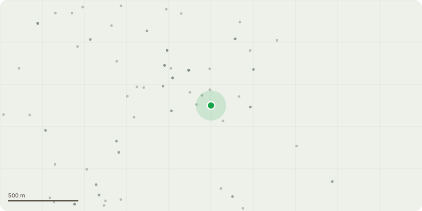
Approximate location
Proposal
Please see photos attached of the tree and surrounding areas. The tree is extremely high for a housing estate, there is a public alleyway and a business also, this is dangerous as you can see by the photographs provided. With the high winds we have been having the height of the tree is of great concern and the branches are constantly falling onto our vehicles and property and in our garden, the roots are damaging the outside of our property and the constant shedding and sap is damaging our vehicles, property roof and windows, and the bits having to be swept daily. Main concern with this is if this falls/blows over it will cause serious damage or worse. I have attached photos of the tree and areas from various months and currently the tree is bigger than ever and not only growing over our house but the bottom of the tree this year is growing through our fence and into our drive/garden damaging our grounds now also. The leaves and branches are now nearly touching our windows. This tree has never been maintained by the owner. Tree is situated in the garden of end house in clews walk, possibly number 15. We are not wishing to carry the works out ourselves but would like the owner of the property in clews walk to do so, the tree is in there garden but overhanging our house, garden and drive. The tree is a danger. Can the owner please be contacted by yourselves to get this tree maintained?
Key dates
- Received 27 Aug 2025
- Started 27 Aug 2025
- Decided 22 Oct 2025
Planning history / related applications
No related planning applications have been identified in the current public OGL dataset.
Inside plotEdge
Go beyond the public record
This page is the public OGL record. plotEdge adds the private intelligence layer for this site - open it in the app to unlock:
- Ownership & title Registered owner and title from HM Land Registry.
- Viability & build potential Site scoring and development upside.
- Constraints Flood risk, green belt, conservation areas and designations.
- Approval signal Planning risk and approval-likelihood analysis.
- Comparable applications Decisions on similar nearby sites, side by side.
- Status alerts Get notified the moment this application changes.
Source: public planning application data from Newcastle-under-Lyme, reused under the Open Government Licence v3.0. View the council source record. Council documents and drawings are not republished on plotEdge.