Newcastle-under-Lyme
Newcastle-under-Lyme/25/00529/TCA
8 Birches Farm Mews Madeley Crewe Cheshire CW3 9TE
- Reference
- Newcastle-under-Lyme/25/00529/TCA
- Authority
- Newcastle-under-Lyme
- Application type
- Trees in conservation area
- Address
- 8 Birches Farm Mews Madeley Crewe Cheshire CW3 9TE
- Postcode
- CW3 9TE
- Status
- No Obj Tree Works Conservation Area
- Decision
- No Objection Trees CA
- Received
- 15 Jul 2025
- Started
- 15 Jul 2025
- Decided
- 26 Aug 2025
- Source council
- Newcastle-under-Lyme
- Council source record
- View public record
- Public data licence
- Open Government Licence v3.0
- Record updated
- 18 Jul 2026
- SEO index generated
- 24 Jul 2026
Location
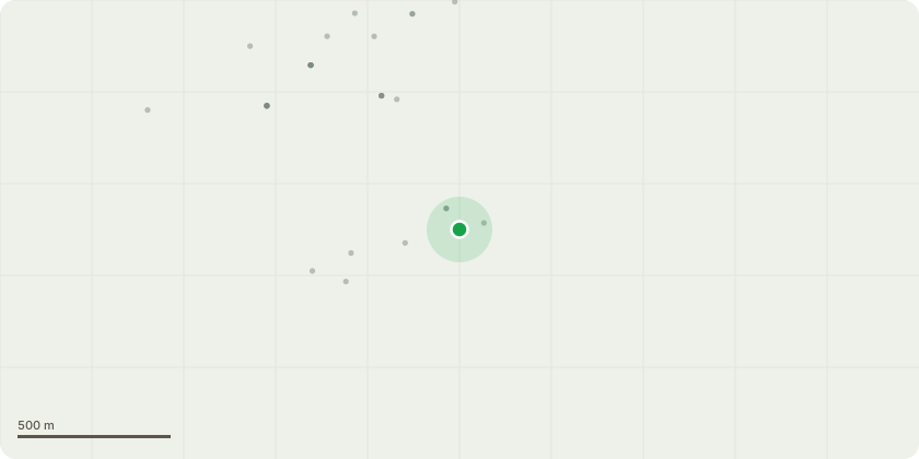
Approximate location
Proposal
I wish to cut down the treeIt's a 30 year old sycamore of no special significance.It's been pollarded in the past without reference to the local authority by previous property owners. The branch envelope has grown massively in the 5 years we've owned the property.It's roots are very near the surface due to hard pan old farmyard surface just below the garden soil level.Other nearby trees and plants are suffering stress each summer due to the moisture demands of the tree.It's in a Conservation AreaThe tree surgeon suggests that in his opinion it is inappropriately sited and too large for its current position. It's roots have disturbed nearby garden brickwork.
Key dates
- Received 15 Jul 2025
- Started 15 Jul 2025
- Decided 26 Aug 2025
Planning history / related applications
No related planning applications have been identified in the current public OGL dataset.
Inside plotEdge
Go beyond the public record
This page is the public OGL record. plotEdge adds the private intelligence layer for this site - open it in the app to unlock:
- Ownership & title Registered owner and title from HM Land Registry.
- Viability & build potential Site scoring and development upside.
- Constraints Flood risk, green belt, conservation areas and designations.
- Approval signal Planning risk and approval-likelihood analysis.
- Comparable applications Decisions on similar nearby sites, side by side.
- Status alerts Get notified the moment this application changes.
Source: public planning application data from Newcastle-under-Lyme, reused under the Open Government Licence v3.0. View the council source record. Council documents and drawings are not republished on plotEdge.