Newcastle-under-Lyme
Newcastle-under-Lyme/24/00313/CN06
Baldwins Gate Farm Newcastle Road Baldwins Gate Newcastle Under Lyme Staffordshire ST5 5ES
- Reference
- Newcastle-under-Lyme/24/00313/CN06
- Authority
- Newcastle-under-Lyme
- Application type
- CN
- Address
- Baldwins Gate Farm Newcastle Road Baldwins Gate Newcastle Under Lyme Staffordshire ST5 5ES
- Postcode
- ST5 5ES
- Status
- Application Permitted
- Decision
- Permit
- Received
- 16 Dec 2024
- Started
- 16 Dec 2024
- Decided
- 22 Jul 2025
- Source council
- Newcastle-under-Lyme
- Council source record
- View public record
- Public data licence
- Open Government Licence v3.0
- Record updated
- 18 Jul 2026
- SEO index generated
- 24 Jul 2026
Location
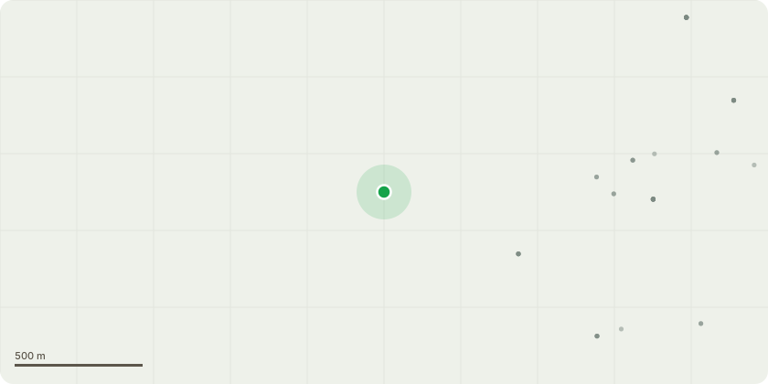
Approximate location
Proposal
Application for approval of:i. Adjustment of the alignment of the proposed cycleway situated to the east of the primary street within close proximity of the A53 access roundabout,ii. Set back of 1m high metal railing, from exit visibility splay on the A53 eastern roundabout arm situated along the site frontage,iii. Location of tactile cycle and pedestrian crossings within the site layout to safely accommodate cyclist and pedestrian desire lines,iv. Relocation of proposed street tree near to plot 40 outside of the junction visibility splay,v. Provision of 2m x 25m visibility splays at the proposed private vehicle accesses serving plots 77, 76, 75, 69-74, 68, 67, 64-66, 63, 62, 61, 40, 39, 38, 37, 36 and 35 onto the carriageway,vi. Provision of bin collection areas sited adjacent to the highway for the private driveways and details of on-plot bin storage,vii. Revision of proposed access arrangement serving retained farm buildings.as required by condition 06 of planning permission reference 24/00313/REM for Erection of 200 dwellings, with associated car parking, public open space, attenuation basins, landscaping and associated works pursuant to outline permission 21/01041/OUT (AMENDED PLANS RECEIVED)
Key dates
- Received 16 Dec 2024
- Started 16 Dec 2024
- Decided 22 Jul 2025
Planning history / related applications
No related planning applications have been identified in the current public OGL dataset.
Inside plotEdge
Go beyond the public record
This page is the public OGL record. plotEdge adds the private intelligence layer for this site - open it in the app to unlock:
- Ownership & title Registered owner and title from HM Land Registry.
- Viability & build potential Site scoring and development upside.
- Constraints Flood risk, green belt, conservation areas and designations.
- Approval signal Planning risk and approval-likelihood analysis.
- Comparable applications Decisions on similar nearby sites, side by side.
- Status alerts Get notified the moment this application changes.
Source: public planning application data from Newcastle-under-Lyme, reused under the Open Government Licence v3.0. View the council source record. Council documents and drawings are not republished on plotEdge.