Newcastle-under-Lyme
Newcastle-under-Lyme/23/00753/NMA3
18 Camborne Crescent Newcastle Under Lyme Staffordshire ST5 3NH
- Reference
- Newcastle-under-Lyme/23/00753/NMA3
- Authority
- Newcastle-under-Lyme
- Application type
- Non-material amendment
- Address
- 18 Camborne Crescent Newcastle Under Lyme Staffordshire ST5 3NH
- Postcode
- ST5 3NH
- Status
- Application Permitted
- Decision
- Permit
- Received
- 8 Oct 2024
- Started
- 8 Oct 2024
- Decided
- 31 Oct 2024
- Source council
- Newcastle-under-Lyme
- Council source record
- View public record
- Public data licence
- Open Government Licence v3.0
- Record updated
- 18 Jul 2026
- SEO index generated
- 24 Jul 2026
Location
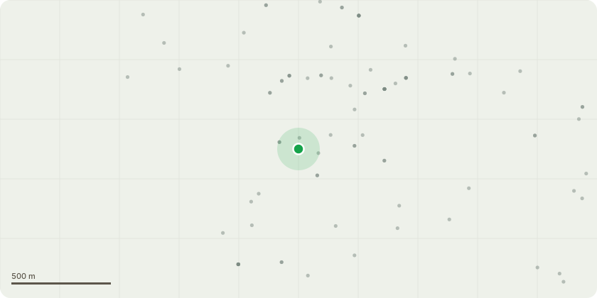
Approximate location
Proposal
Application for a non-material amendment relating to alterations to planning permission 23/00753/FUL - 1. High level windows on side elevation (left and right) reduced in length by 275mm so that roof steel beam is not bearing on lintel over window 2. Brick pillar (in master ensuite) retained on existing house to support steel beam. (see first floor plan) 3. Master ensuite window is split into 2 smaller windows due to requirement for brick pillar (in master ensuite) to be retained on existing house to support steel beam. Overall this change results in a reduction in master ensuite window area from D-A-E 1002 REV E and a significant reduction from D-A-E REV D (where there were 2 windows originally). 4. Ensuite window moved 100mm to left away from chimney so that lintel has brickwork to bear on 5. Velux windows ? width of velux windows reduced by 160mm so that windows can fit between the rafters. Velux window position altered so that it fits within the wooden roof structure. 6. Soil vent pipe position changed in line with working drawings. 7. Smaller window in office/sun-room/playroom on right side elevation due to requirement for brick pillar to support steel beam.
Key dates
- Received 8 Oct 2024
- Started 8 Oct 2024
- Decided 31 Oct 2024
Planning history / related applications
No related planning applications have been identified in the current public OGL dataset.
Inside plotEdge
Go beyond the public record
This page is the public OGL record. plotEdge adds the private intelligence layer for this site - open it in the app to unlock:
- Ownership & title Registered owner and title from HM Land Registry.
- Viability & build potential Site scoring and development upside.
- Constraints Flood risk, green belt, conservation areas and designations.
- Approval signal Planning risk and approval-likelihood analysis.
- Comparable applications Decisions on similar nearby sites, side by side.
- Status alerts Get notified the moment this application changes.
Source: public planning application data from Newcastle-under-Lyme, reused under the Open Government Licence v3.0. View the council source record. Council documents and drawings are not republished on plotEdge.