Newark and Sherwood
Newark and Sherwood/26/00671/TWCA
49 Fiskerton Road Southwell NG25 0TH
- Reference
- Newark and Sherwood/26/00671/TWCA
- Authority
- Newark and Sherwood
- Application type
- TWCA
- Address
- 49 Fiskerton Road Southwell NG25 0TH
- Postcode
- NG25 0TH
- Decision
- No Objection
- Received
- 7 May 2026
- Validated
- 8 May 2026
- Started
- 8 May 2026
- Decided
- 18 Jun 2026
- Source council
- Newark and Sherwood
- Council source record
- View public record
- Public data licence
- Open Government Licence v3.0
- Record updated
- 18 Jul 2026
- SEO index generated
- 24 Jul 2026
Location
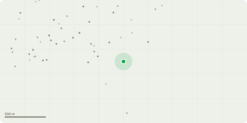
Approximate location
Proposal
T1 - Laburnum to be removed as it will be in the direct line of new fence line. The root system of tree has completely lifted the slabbed path from the rear gate half way down the garden, making it a constant trip hazard. For a new slabbed path way to installed the tree would have to be removed as the same problem keep occurring. H1 / 2 meters high - Mixed hedging Beach, Privet and field Maple (approx 9 meters long) H2 / 2 - 2.5 Meters high - mixed Privet, Conifer, Laurel (approx 8 meters long)Hedge to be removed on the left and right hand side of property. Hedge has encroached significantly into garden both sides reducing garden size dramatically. The hedge also doesn't provide much security to property as there is gaps within the hedge row. A new fence will be installed both sides as the current one thats within the hedge row has completed rotted.
Key dates
- Received 7 May 2026
- Validated 8 May 2026
- Started 8 May 2026
- Decided 18 Jun 2026
Planning history / related applications
No related planning applications have been identified in the current public OGL dataset.
Inside plotEdge
Go beyond the public record
This page is the public OGL record. plotEdge adds the private intelligence layer for this site - open it in the app to unlock:
- Ownership & title Registered owner and title from HM Land Registry.
- Viability & build potential Site scoring and development upside.
- Constraints Flood risk, green belt, conservation areas and designations.
- Approval signal Planning risk and approval-likelihood analysis.
- Comparable applications Decisions on similar nearby sites, side by side.
- Status alerts Get notified the moment this application changes.
Source: public planning application data from Newark and Sherwood, reused under the Open Government Licence v3.0. View the council source record. Council documents and drawings are not republished on plotEdge.