Newark and Sherwood
Newark and Sherwood/26/00654/TWCA
7 Palace View Southwell NG25 0HR
- Reference
- Newark and Sherwood/26/00654/TWCA
- Authority
- Newark and Sherwood
- Application type
- TWCA
- Address
- 7 Palace View Southwell NG25 0HR
- Postcode
- NG25 0HR
- Decision
- No Objection
- Received
- 1 May 2026
- Validated
- 5 May 2026
- Started
- 5 May 2026
- Decided
- 15 Jun 2026
- Source council
- Newark and Sherwood
- Council source record
- View public record
- Public data licence
- Open Government Licence v3.0
- Record updated
- 18 Jul 2026
- SEO index generated
- 24 Jul 2026
Location
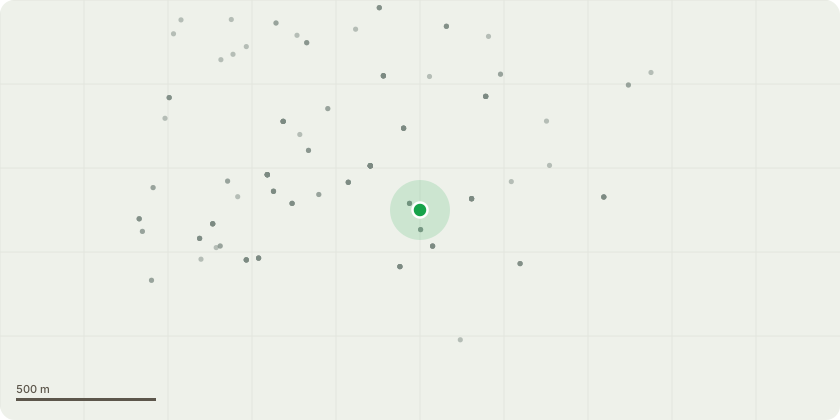
Approximate location
Proposal
T1 - Leylandii, approximately 8 metres high. looking to reduce height by 25% as per the attached images, helping to reduce shade off neighbouring property and reduce the sail of the tree in high winds as if any failures were to happen it would cause damage to shed directly behind. Being reduced will help re balance tree. T2 - Silver Birch, approximately 11 meters high, looking to re pollard back to previous pollard heads, helping to ease maintenance in years to come and help create light in property. As per attached images.T3 - Box Elder Maple - looking to reduce all round by 30% and a 10% thin. Tree is out of shape and unbalanced reducing all round will help this and a thin is required due to it being clustered. As per attached Images. T4 - Japanese Oak - Looking to re pollard as done previously helping to keep the tree maintained and ease maintenance in years to come.
Key dates
- Received 1 May 2026
- Validated 5 May 2026
- Started 5 May 2026
- Decided 15 Jun 2026
Planning history / related applications
No related planning applications have been identified in the current public OGL dataset.
Inside plotEdge
Go beyond the public record
This page is the public OGL record. plotEdge adds the private intelligence layer for this site - open it in the app to unlock:
- Ownership & title Registered owner and title from HM Land Registry.
- Viability & build potential Site scoring and development upside.
- Constraints Flood risk, green belt, conservation areas and designations.
- Approval signal Planning risk and approval-likelihood analysis.
- Comparable applications Decisions on similar nearby sites, side by side.
- Status alerts Get notified the moment this application changes.
Source: public planning application data from Newark and Sherwood, reused under the Open Government Licence v3.0. View the council source record. Council documents and drawings are not republished on plotEdge.