Newark and Sherwood
Newark and Sherwood/26/00239/TWCA
Overfield House Southwell Road Thurgarton NG14 7GP
- Reference
- Newark and Sherwood/26/00239/TWCA
- Authority
- Newark and Sherwood
- Application type
- TWCA
- Address
- Overfield House Southwell Road Thurgarton NG14 7GP
- Postcode
- NG14 7GP
- Decision
- No Objection
- Received
- 19 Feb 2026
- Validated
- 20 Feb 2026
- Started
- 20 Feb 2026
- Decided
- 23 Mar 2026
- Source council
- Newark and Sherwood
- Council source record
- View public record
- Public data licence
- Open Government Licence v3.0
- Record updated
- 18 Jul 2026
- SEO index generated
- 24 Jul 2026
Location
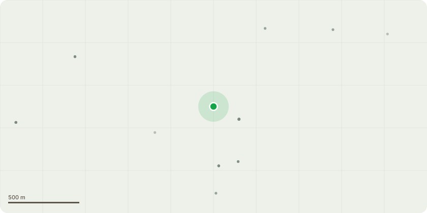
Approximate location
Proposal
T1 - Hawthorn - prune branches away from streetlight by removing back to main stem or lowering to fence height. Reduce height by pruning down to smaller rear stem.T2 - Damson - reduce height by approx. 4ft and thin as necessary to reduce weight and windsail. Remove limb growing over bin area to improve balance of tree.T3 - Mature Cherry on left hand side of driveway - tree has significant structural timber defects at two levels (see pics) meaning the tree may fail at either point, there is significant risk to public/property as the tree is overhanging the driveway - dismantle to ground level and re-plant.T4 - Small leaning Cherry by side gate - tree is not offering any real amenity value and is growing with an unusual lean over the fence - dismantle to ground level.T5 - Crab Apple in rear garden orchard area - tree is in decline and shades pond area - dismantle to ground level.T6 - Mature Walnut (on right hand side of fence line) - shorten lower right hand limb to lessen weight. Remove major deadwood and carry out aerial inspection for structural defects.
Key dates
- Received 19 Feb 2026
- Validated 20 Feb 2026
- Started 20 Feb 2026
- Decided 23 Mar 2026
Planning history / related applications
No related planning applications have been identified in the current public OGL dataset.
Inside plotEdge
Go beyond the public record
This page is the public OGL record. plotEdge adds the private intelligence layer for this site - open it in the app to unlock:
- Ownership & title Registered owner and title from HM Land Registry.
- Viability & build potential Site scoring and development upside.
- Constraints Flood risk, green belt, conservation areas and designations.
- Approval signal Planning risk and approval-likelihood analysis.
- Comparable applications Decisions on similar nearby sites, side by side.
- Status alerts Get notified the moment this application changes.
Source: public planning application data from Newark and Sherwood, reused under the Open Government Licence v3.0. View the council source record. Council documents and drawings are not republished on plotEdge.