Newark and Sherwood
Newark and Sherwood/26/00134/TWCA
27 Farndon Road Newark On Trent NG24 4SQ
- Reference
- Newark and Sherwood/26/00134/TWCA
- Authority
- Newark and Sherwood
- Application type
- TWCA
- Address
- 27 Farndon Road Newark On Trent NG24 4SQ
- Postcode
- NG24 4SQ
- Decision
- No Objection
- Received
- 29 Jan 2026
- Validated
- 30 Jan 2026
- Started
- 30 Jan 2026
- Decided
- 12 Feb 2026
- Source council
- Newark and Sherwood
- Council source record
- View public record
- Public data licence
- Open Government Licence v3.0
- Record updated
- 18 Jul 2026
- SEO index generated
- 24 Jul 2026
Location
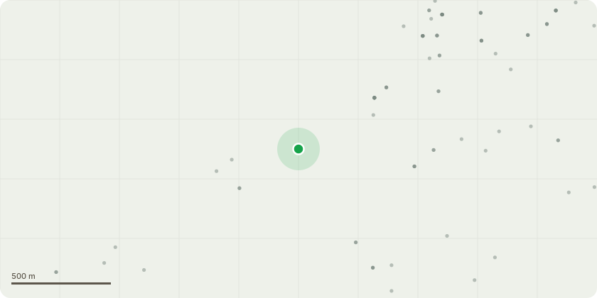
Approximate location
Proposal
REF E1 Ilex Aquifolium - Prune Back Hard 1/3rd to previous topiary shape Late winterREF H Holme Oaks - Remove Top Leaders Trim branches To thicken as a tall hedge REF G1 Beech - Remove Twin Stem Self set Beech on the bank 1st stem @ 60mm, 2nd stem @ 90mm waist heightREF E2 Ilex Aquifolium - Prune Back Hard 40% to previous topiary shape Late winterREF F4 Privet Hedge - Prune Height to 50 % Late winterREF F1 Privet Hedge- Cut back hedge close to ground year 1 late winter if no growth remove hedge year 2 up to viable hedgeREF F2 Privet Hedge viable section on the higher bank to be Pruned back 20% height late winterREF F3 Privet to be pruned back hard to 1.5m from 3m height taking approx 50% off existing height in late winterREF D1 Reduce limbs on Ash Trees to reduce weight on previous pollardREF C1 Remove Overgrown Apple Tree. Fungus growing in the trunk where limb died back. Poor position overgrown Limbs small fruit
Key dates
- Received 29 Jan 2026
- Validated 30 Jan 2026
- Started 30 Jan 2026
- Decided 12 Feb 2026
Planning history / related applications
No related planning applications have been identified in the current public OGL dataset.
Inside plotEdge
Go beyond the public record
This page is the public OGL record. plotEdge adds the private intelligence layer for this site - open it in the app to unlock:
- Ownership & title Registered owner and title from HM Land Registry.
- Viability & build potential Site scoring and development upside.
- Constraints Flood risk, green belt, conservation areas and designations.
- Approval signal Planning risk and approval-likelihood analysis.
- Comparable applications Decisions on similar nearby sites, side by side.
- Status alerts Get notified the moment this application changes.
Source: public planning application data from Newark and Sherwood, reused under the Open Government Licence v3.0. View the council source record. Council documents and drawings are not republished on plotEdge.