Newark and Sherwood
Newark and Sherwood/26/00130/TWCA
The Manor House Main Street Hoveringham Nottingham NG14 7JR
- Reference
- Newark and Sherwood/26/00130/TWCA
- Authority
- Newark and Sherwood
- Application type
- TWCA
- Address
- The Manor House Main Street Hoveringham Nottingham NG14 7JR
- Postcode
- NG14 7JR
- Decision
- No Objection
- Received
- 28 Jan 2026
- Validated
- 29 Jan 2026
- Started
- 29 Jan 2026
- Decided
- 2 Mar 2026
- Source council
- Newark and Sherwood
- Council source record
- View public record
- Public data licence
- Open Government Licence v3.0
- Record updated
- 18 Jul 2026
- SEO index generated
- 24 Jul 2026
Location
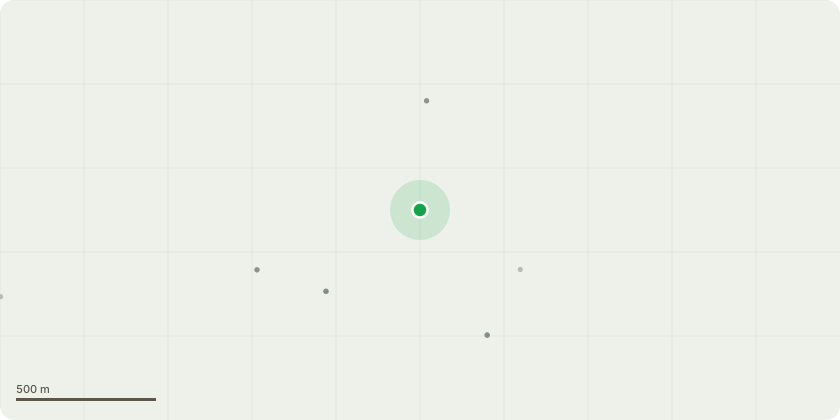
Approximate location
Proposal
G1 - Row of Conifers approx. 10 stems - fell to ground level - these trees have outgrown their space and are encroaching onto the lawn area to the rear of the property (blocking light) and in danger of damaging the rear boundary wall if the stems are allowed to increase too much in diameter.G2- group of 4 Lime trees - crown clean canopies by removing major deadwood, thinning or removing epicormic (water shoot) growth and removing any broken or diseased branches.1 stem has significant decay and will need reducing down to sound wood due to it overhanging play equipment.T1 - Leaning Eucalyptus - remove 1x lowest branch over the road - this tree has suffered from a vehicle strike in the last year which snapped another low limb clean off, this work will help prevent another incident and hopefully reduce some weight over the road.
Key dates
- Received 28 Jan 2026
- Validated 29 Jan 2026
- Started 29 Jan 2026
- Decided 2 Mar 2026
Planning history / related applications
No related planning applications have been identified in the current public OGL dataset.
Inside plotEdge
Go beyond the public record
This page is the public OGL record. plotEdge adds the private intelligence layer for this site - open it in the app to unlock:
- Ownership & title Registered owner and title from HM Land Registry.
- Viability & build potential Site scoring and development upside.
- Constraints Flood risk, green belt, conservation areas and designations.
- Approval signal Planning risk and approval-likelihood analysis.
- Comparable applications Decisions on similar nearby sites, side by side.
- Status alerts Get notified the moment this application changes.
Source: public planning application data from Newark and Sherwood, reused under the Open Government Licence v3.0. View the council source record. Council documents and drawings are not republished on plotEdge.