Newark and Sherwood
Newark and Sherwood/25/01867/TWCA
Woodbine Farmhouse Ingram Lane Sutton On Trent NG23 6RT
- Reference
- Newark and Sherwood/25/01867/TWCA
- Authority
- Newark and Sherwood
- Application type
- TWCA
- Address
- Woodbine Farmhouse Ingram Lane Sutton On Trent NG23 6RT
- Postcode
- NG23 6RT
- Decision
- No Objection
- Received
- 31 Oct 2025
- Validated
- 4 Nov 2025
- Started
- 4 Nov 2025
- Decided
- 12 Nov 2025
- Source council
- Newark and Sherwood
- Council source record
- View public record
- Public data licence
- Open Government Licence v3.0
- Record updated
- 18 Jul 2026
- SEO index generated
- 24 Jul 2026
Location
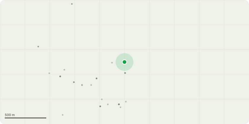
Approximate location
Proposal
T1 - Ash - Remove part of a large branch that is dying off. See supplied image Tree 1 - Ash and Tree 1 - Ash 2 for the branch in question. The cutting would take place on the lowest branch extending from the right of the pictures across to the left. The branch will be cut to the left side of the that extends upward. This cut would lift the crown level and reduce the weight it holds.T2 - Holly - Reduce the height of this tree to a manageable size. Allowing for easy ground maintenance and ground trimming. This tree grows beneath a telephone wire and overhangs an outbuilding on our property. The crown of this tree is currently top-heavy and may cause implications to the road, telephone wire and outbuildings without a reduction in size. Please see Image Tree 2 - Holly supplied. The image is taken from Ingram Lane.T3 - Cherry Reduce its height by 6-8 feet. This is due to it also growing up alongside the telephone wire, and may cause an issue with it in the future. Please see image Tree 3 - Cherry.
Key dates
- Received 31 Oct 2025
- Validated 4 Nov 2025
- Started 4 Nov 2025
- Decided 12 Nov 2025
Planning history / related applications
No related planning applications have been identified in the current public OGL dataset.
Inside plotEdge
Go beyond the public record
This page is the public OGL record. plotEdge adds the private intelligence layer for this site - open it in the app to unlock:
- Ownership & title Registered owner and title from HM Land Registry.
- Viability & build potential Site scoring and development upside.
- Constraints Flood risk, green belt, conservation areas and designations.
- Approval signal Planning risk and approval-likelihood analysis.
- Comparable applications Decisions on similar nearby sites, side by side.
- Status alerts Get notified the moment this application changes.
Source: public planning application data from Newark and Sherwood, reused under the Open Government Licence v3.0. View the council source record. Council documents and drawings are not republished on plotEdge.