Milton Keynes
Milton Keynes/PLN/2025/1379
SHELTON HOUSE, HIGH STREET, WOBURN SANDS, MILTON KEYNES, MK17 8SD
- Reference
- Milton Keynes/PLN/2025/1379
- Authority
- Milton Keynes
- Application type
- Listed building consent (alterations or extension)
- Address
- SHELTON HOUSE, HIGH STREET, WOBURN SANDS, MILTON KEYNES, MK17 8SD
- Postcode
- MK17 8SD
- Status
- Decision Made
- Source council
- Milton Keynes
- Council source record
- View public record
- Public data licence
- Open Government Licence v3.0
- Record updated
- 12 Jul 2026
- SEO index generated
- 24 Jul 2026
Location
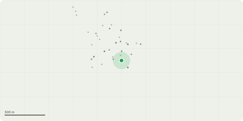
Approximate location
Proposal
Listed Building Consent for internal works including 6no. new door openings (2no. ground floor and 4no. first floor), infilling of 1no. existing doorways (ground floor), infilling of 1no. Archway (first floor), a new double door in an existing archway on the ground floor, wall to be removed on ground floor, repairs to ceiling and ceiling laths over the atrium, and repairs to ceilings and walls where necessary. External works to include installation of leaf guards to rainfall outlets / hoppers, gutters, replacement of UPVC rainwater goods with Georgian style black UPVC gutters, repointing of brickwork where required, repair to windows and frames throughout, roof repairs (slates replacement and repair loose tiles), repair and restore of parapet bay window roof and repair and restore portico roof. Alterations to boundary treatment to include walls and top rails, rail fencing to include a double railing gate at the entrance to rear garden, a single railing between front and rear garden, wall mounted railings to lower walls in front garden (max height of 0.7m) and a rail fence (1.8m high) along the north and western rear boundaries.
Planning history / related applications
No related planning applications have been identified in the current public OGL dataset.
Inside plotEdge
Go beyond the public record
This page is the public OGL record. plotEdge adds the private intelligence layer for this site - open it in the app to unlock:
- Ownership & title Registered owner and title from HM Land Registry.
- Viability & build potential Site scoring and development upside.
- Constraints Flood risk, green belt, conservation areas and designations.
- Approval signal Planning risk and approval-likelihood analysis.
- Comparable applications Decisions on similar nearby sites, side by side.
- Status alerts Get notified the moment this application changes.
Source: public planning application data from Milton Keynes, reused under the Open Government Licence v3.0. View the council source record. Council documents and drawings are not republished on plotEdge.