Milton Keynes
Milton Keynes/PLN/2025/1097
Plot X5, 2 Leys Road, Loughton, Milton Keynes, MK5 8AZ
- Reference
- Milton Keynes/PLN/2025/1097
- Authority
- Milton Keynes
- Application type
- Removal/variation of conditions
- Address
- Plot X5, 2 Leys Road, Loughton, Milton Keynes, MK5 8AZ
- Postcode
- MK5 8AZ
- Status
- Decision Made
- Source council
- Milton Keynes
- Council source record
- View public record
- Public data licence
- Open Government Licence v3.0
- Record updated
- 12 Jul 2026
- SEO index generated
- 24 Jul 2026
Location
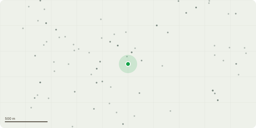
Approximate location
Proposal
Variation of condition 1 (Approved Plans) seeking to to amend the drawings to add x3 conservation-style roof lights on the lower north-facing roof slope; install a solar PV array on the southeast roof slope (comprising of 18no. 780x1180mm PV panels); revised chimney design (smaller size and spaced further apart to accommodate the solar PVs) on the south east roof slope; revised window details, including lintels and window pane design; insert x1 blind window on the first floor of the south elevation; use of standing seam zinc (instead of imitation lead) on the top sections of the main Gambrel roof and on the lower valley infill; and revised fenestration for the rear orangery extension (relating to permission ref. 23/02747/FUL for the erection of a detached dwelling house, with basement, new timber entrance gates (with limestone wall and gate piers); detached double garage with first floor; and hard and soft landscaping)
Planning history / related applications
No related planning applications have been identified in the current public OGL dataset.
Inside plotEdge
Go beyond the public record
This page is the public OGL record. plotEdge adds the private intelligence layer for this site - open it in the app to unlock:
- Ownership & title Registered owner and title from HM Land Registry.
- Viability & build potential Site scoring and development upside.
- Constraints Flood risk, green belt, conservation areas and designations.
- Approval signal Planning risk and approval-likelihood analysis.
- Comparable applications Decisions on similar nearby sites, side by side.
- Status alerts Get notified the moment this application changes.
Source: public planning application data from Milton Keynes, reused under the Open Government Licence v3.0. View the council source record. Council documents and drawings are not republished on plotEdge.