Milton Keynes
Milton Keynes/PLN/2025/0774
Multi Storey Car Park, Milton Keynes Theatre, 500 Marlborough Gate, Central Milton Keynes, Milton Keynes, MK9 3NZ
- Reference
- Milton Keynes/PLN/2025/0774
- Authority
- Milton Keynes
- Application type
- Non-Material Amendment
- Address
- Multi Storey Car Park, Milton Keynes Theatre, 500 Marlborough Gate, Central Milton Keynes, Milton Keynes, MK9 3NZ
- Postcode
- MK9 3NZ
- Status
- Decision Made
- Source council
- Milton Keynes
- Council source record
- View public record
- Public data licence
- Open Government Licence v3.0
- Record updated
- 12 Jul 2026
- SEO index generated
- 24 Jul 2026
Location
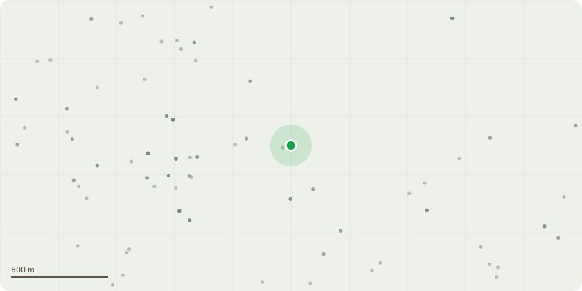
Approximate location
Proposal
Non-material amendment seeking to the removal of staircase in Core A and introduction of internal link corridor on all floors to connect both cores, external link added at level 16 to connect both cores, reconfigured apartment layouts following removal of second stair, alteration to unit mix, ground floor resi amenity space increase, minor amendments to window positions, window heights increased from 2.1m to 2.4m to ensure floor to ceiling windows in apartments, refinement of elevations and enhancements to public realm and landscaping (relating to permission ref. 24/00036/FUL for Demolition of the existing multi-storey car park and construction of a part 25, part 18, part 16 story build-to-rent residential development (285 units) (Use Class C3) with open Use Class E (Commercial, Business and Services) to include leisure, restaurant/café, Sui Generis (public houses, wine bars, or drinking establishments (and with expanded food provision), and a cinema), and Use Class F2 (local community halls and meeting places) at ground and first floor level, with ancillary car parking, cycle parking, and public realm enhancements)
Planning history / related applications
No related planning applications have been identified in the current public OGL dataset.
Inside plotEdge
Go beyond the public record
This page is the public OGL record. plotEdge adds the private intelligence layer for this site - open it in the app to unlock:
- Ownership & title Registered owner and title from HM Land Registry.
- Viability & build potential Site scoring and development upside.
- Constraints Flood risk, green belt, conservation areas and designations.
- Approval signal Planning risk and approval-likelihood analysis.
- Comparable applications Decisions on similar nearby sites, side by side.
- Status alerts Get notified the moment this application changes.
Source: public planning application data from Milton Keynes, reused under the Open Government Licence v3.0. View the council source record. Council documents and drawings are not republished on plotEdge.