Milton Keynes
Milton Keynes/PLN/2025/0493
Land off Twain Way, Tattenhoe Park, Milton Keynes, MK4 4SQ
- Reference
- Milton Keynes/PLN/2025/0493
- Authority
- Milton Keynes
- Application type
- Non-Material Amendment
- Address
- Land off Twain Way, Tattenhoe Park, Milton Keynes, MK4 4SQ
- Postcode
- MK4 4SQ
- Status
- Decision Made
- Source council
- Milton Keynes
- Council source record
- View public record
- Public data licence
- Open Government Licence v3.0
- Record updated
- 12 Jul 2026
- SEO index generated
- 24 Jul 2026
Location
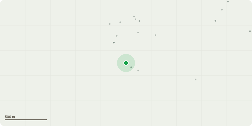
Approximate location
Proposal
Non-material amendment seeking the addition of conditions relating to the mitigation of adverse impacts to Great Crested Newts under the requirements of the NatureSpace District Licensing. (relating to permission ref. 17/00918/OUT for the renewal of outline planning permission 06/00856/MKPCO for residential development of up to 1310 dwellings, a mixed use local centre of up to 2000 square metres, site for primary school (now delivered), community facilities, hotel and public house, public open space and associated landscaping and infrastructure for an extended period of 10 years and amendments to the illustrative masterplan including removal of the bus link to Steinbeck Crescent, relocation of local centre to eastern boundary and relocation of sports pavilion and sites reserved for community use
Planning history / related applications
No related planning applications have been identified in the current public OGL dataset.
Inside plotEdge
Go beyond the public record
This page is the public OGL record. plotEdge adds the private intelligence layer for this site - open it in the app to unlock:
- Ownership & title Registered owner and title from HM Land Registry.
- Viability & build potential Site scoring and development upside.
- Constraints Flood risk, green belt, conservation areas and designations.
- Approval signal Planning risk and approval-likelihood analysis.
- Comparable applications Decisions on similar nearby sites, side by side.
- Status alerts Get notified the moment this application changes.
Source: public planning application data from Milton Keynes, reused under the Open Government Licence v3.0. View the council source record. Council documents and drawings are not republished on plotEdge.