Milton Keynes
Milton Keynes/PLN/2025/0345
Radcliffe School And Youth Centre, Aylesbury Street West, And Adjoining Western Road Recreation Ground, And Adjoining Highway Corridor of Great Monks Street, Wolverton, Milton Keynes, MK12 5BT
- Reference
- Milton Keynes/PLN/2025/0345
- Authority
- Milton Keynes
- Application type
- Confirmation of discharge of details required by condition
- Address
- Radcliffe School And Youth Centre, Aylesbury Street West, And Adjoining Western Road Recreation Ground, And Adjoining Highway Corridor of Great Monks Street, Wolverton, Milton Keynes, MK12 5BT
- Postcode
- MK12 5BT
- Status
- Decision Made
- Source council
- Milton Keynes
- Council source record
- View public record
- Public data licence
- Open Government Licence v3.0
- Record updated
- 12 Jul 2026
- SEO index generated
- 24 Jul 2026
Location
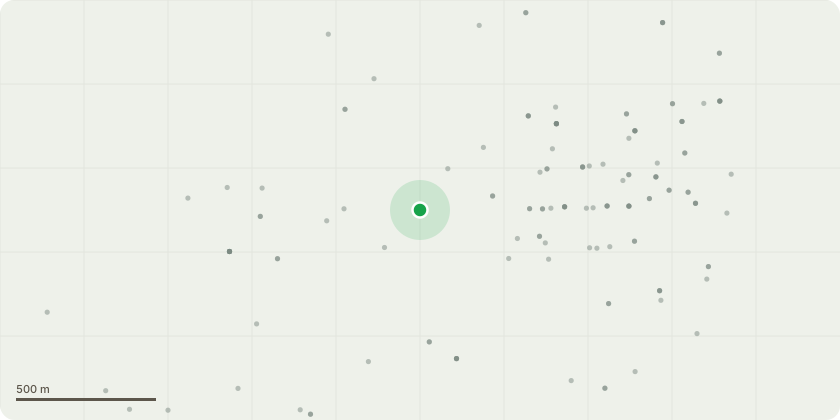
Approximate location
Proposal
Confirmation that all conditions of permission ref. 07/00554/OUT having been complied with, relating to application in outline for demolition of existing buildings (including orchard hall and youth centre) and the construction of a mixed use development comprising of:- (c3) residential development; retail (a1, a2, a3) and commercial (b1) development, expansion of existing sport (d2) (including 50m indoor swimming pool; indoor sports facilities; floodlit all-weather sports pitch, running track and tennis courts on school playing fields and educational facilities (d1; public square adjacent to Aylesbury street west; landscape strategy including areas for vegetation removal and replacement planting); diversion of existing public right of way and re-alignment of red ways; re-alignment of access road from great monks street (approved under application 06/00336/out) and of new accesses from great monks street and Stratford road; and ancillary development [including boundary fencing; specialist sports fencing; local equipped area of play on western road recreation ground)
Planning history / related applications
No related planning applications have been identified in the current public OGL dataset.
Inside plotEdge
Go beyond the public record
This page is the public OGL record. plotEdge adds the private intelligence layer for this site - open it in the app to unlock:
- Ownership & title Registered owner and title from HM Land Registry.
- Viability & build potential Site scoring and development upside.
- Constraints Flood risk, green belt, conservation areas and designations.
- Approval signal Planning risk and approval-likelihood analysis.
- Comparable applications Decisions on similar nearby sites, side by side.
- Status alerts Get notified the moment this application changes.
Source: public planning application data from Milton Keynes, reused under the Open Government Licence v3.0. View the council source record. Council documents and drawings are not republished on plotEdge.