Milton Keynes
Milton Keynes/24/01858/NMA
Land West of Newport Road Woburn Sands Milton Keynes MK17 8UE
- Reference
- Milton Keynes/24/01858/NMA
- Authority
- Milton Keynes
- Application type
- Non-Material Amendment
- Address
- Land West of Newport Road Woburn Sands Milton Keynes MK17 8UE
- Postcode
- MK17 8UE
- Status
- Decision Made
- Source council
- Milton Keynes
- Council source record
- View public record
- Public data licence
- Open Government Licence v3.0
- Record updated
- 12 Jul 2026
- SEO index generated
- 24 Jul 2026
Location
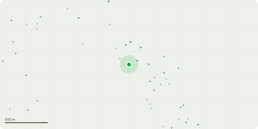
Approximate location
Proposal
Non-material amendment seeking approval for a grasscrete maintenance access track and removal of informal path through open space; relocation of trees in open space and side streets; alteration of the fence line between plots 55-56; alteration of the fence line between plots 71-72; removal of 1 visitor space adjacent to plot 50; addition of a fire tender turning area on the private drive serving plots 36-39; removal of the grass verge to the front of plots 40-45 & relocation of the street trees to the front gardens of the associated plots; the reduction in size of the raised table adjacent to plot 11; the expansion of the bin collection area serving plots 80-81; and the expansion of the extent of shared surface highway serving plots 74-95 (relating to permission ref. 22/03005/REM for Approval of reserved matters (layout, scale, appearance and landscaping) pursuant to outline permission ref. 21/02085/OUT (for the construction of up to 103 residential dwellings, together with associated access, parking, open space, landscaping and all ancillary works)).
Planning history / related applications
No related planning applications have been identified in the current public OGL dataset.
Inside plotEdge
Go beyond the public record
This page is the public OGL record. plotEdge adds the private intelligence layer for this site - open it in the app to unlock:
- Ownership & title Registered owner and title from HM Land Registry.
- Viability & build potential Site scoring and development upside.
- Constraints Flood risk, green belt, conservation areas and designations.
- Approval signal Planning risk and approval-likelihood analysis.
- Comparable applications Decisions on similar nearby sites, side by side.
- Status alerts Get notified the moment this application changes.
Source: public planning application data from Milton Keynes, reused under the Open Government Licence v3.0. View the council source record. Council documents and drawings are not republished on plotEdge.