Medway
Medway/TPA/26/0283
10 Magdalen Close Hempstead Gillingham Medway ME7 3TA
- Reference
- Medway/TPA/26/0283
- Authority
- Medway
- Address
- 10 Magdalen Close Hempstead Gillingham Medway ME7 3TA
- Postcode
- ME7 3TA
- Decision
- Approval with Conditions
- Received
- 16 Feb 2026
- Validated
- 16 Feb 2026
- Started
- 16 Feb 2026
- Decided
- 30 Mar 2026
- Source council
- Medway
- Council source record
- View public record
- Public data licence
- Open Government Licence v3.0
- Record updated
- 18 Jul 2026
- SEO index generated
- 24 Jul 2026
Location
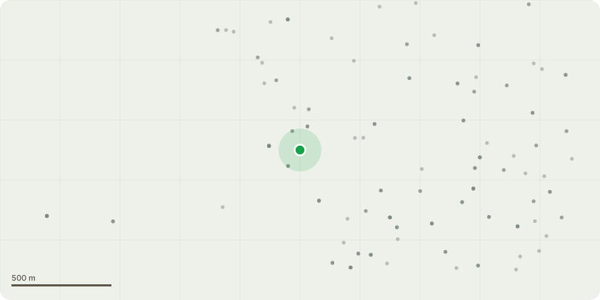
Approximate location
Proposal
T1 - Maple (rear garden adjacent to patio area) Crown reduction by up to 3 metres in height and up to 3 metres on the road-facing and neighbouring boundary sides to provide suitable clearance from the highway and neighbouring garden. Crown to be reduced evenly to suitable growth points retaining a flowing to maintain natural shape.Remove minor deadwood.T2 - Cherry (rear boundary adjacent to fence) Fell to ground level.Reason: Tree is in visible physiological decline with significant deadwood present and reduced vitality. It heavily overhangs the neighbouring property and is of Limited long term sustainability and amenity value. Removal proposed due to deterioration and potential risk of branch failure.Replacement planting: Proposed replacement: 1 no. Amelanchier lamarckii (or similar small ornamental species), 8-10cm girth, to be planted within the rear garden during the next planting season.
Key dates
- Received 16 Feb 2026
- Validated 16 Feb 2026
- Started 16 Feb 2026
- Decided 30 Mar 2026
Planning history / related applications
No related planning applications have been identified in the current public OGL dataset.
Inside plotEdge
Go beyond the public record
This page is the public OGL record. plotEdge adds the private intelligence layer for this site - open it in the app to unlock:
- Ownership & title Registered owner and title from HM Land Registry.
- Viability & build potential Site scoring and development upside.
- Constraints Flood risk, green belt, conservation areas and designations.
- Approval signal Planning risk and approval-likelihood analysis.
- Comparable applications Decisions on similar nearby sites, side by side.
- Status alerts Get notified the moment this application changes.
Source: public planning application data from Medway, reused under the Open Government Licence v3.0. View the council source record. Council documents and drawings are not republished on plotEdge.