Medway
Medway/MC/26/0863
Kitchener Barracks Dock Road Chatham Medway ME4 4UG
- Reference
- Medway/MC/26/0863
- Authority
- Medway
- Address
- Kitchener Barracks Dock Road Chatham Medway ME4 4UG
- Postcode
- ME4 4UG
- Decision
- Approval with Conditions
- Received
- 7 May 2026
- Validated
- 7 May 2026
- Started
- 7 May 2026
- Decided
- 4 Jun 2026
- Source council
- Medway
- Council source record
- View public record
- Public data licence
- Open Government Licence v3.0
- Record updated
- 18 Jul 2026
- SEO index generated
- 24 Jul 2026
Location
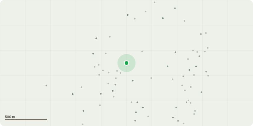
Approximate location
Proposal
Application for a non-material amendment to planning permission MC/21/0412 to block D elevations - roof plant to West elevation added, facade setting out and junction detailing, roman effect brick finished panels with projections in creme and brown detailed, North and South elevations added, lower ground brickwork noted. Block D ground floor terrace - terrace surface finishes advised as aluminium decking in lieu of porcelain tiles, terrace perimeter planters maintained and terrace perimeter balustrading maintained with specification and finish. Zone H elevations - brick panel specification, colour finish, setting out and bonding, rainwater goods, hoppers and downpipes, EVC positions and front entrance door canopies. Hard and soft landscaping - hard landscaping materials consistent with prior development phases, soft landscaping planting consistent with prior development phases, boundary wall and internal development wall detailing added and retaining wall levels added
Key dates
- Received 7 May 2026
- Validated 7 May 2026
- Started 7 May 2026
- Decided 4 Jun 2026
Planning history / related applications
No related planning applications have been identified in the current public OGL dataset.
Inside plotEdge
Go beyond the public record
This page is the public OGL record. plotEdge adds the private intelligence layer for this site - open it in the app to unlock:
- Ownership & title Registered owner and title from HM Land Registry.
- Viability & build potential Site scoring and development upside.
- Constraints Flood risk, green belt, conservation areas and designations.
- Approval signal Planning risk and approval-likelihood analysis.
- Comparable applications Decisions on similar nearby sites, side by side.
- Status alerts Get notified the moment this application changes.
Source: public planning application data from Medway, reused under the Open Government Licence v3.0. View the council source record. Council documents and drawings are not republished on plotEdge.