Medway
Medway/MC/26/0498
Brompton Barracks Dock Road Chatham Medway ME4 4UG
- Reference
- Medway/MC/26/0498
- Authority
- Medway
- Address
- Brompton Barracks Dock Road Chatham Medway ME4 4UG
- Postcode
- ME4 4UG
- Decision
- Approval
- Received
- 12 Mar 2026
- Validated
- 12 Mar 2026
- Started
- 12 Mar 2026
- Decided
- 30 Mar 2026
- Source council
- Medway
- Council source record
- View public record
- Public data licence
- Open Government Licence v3.0
- Record updated
- 18 Jul 2026
- SEO index generated
- 24 Jul 2026
Location
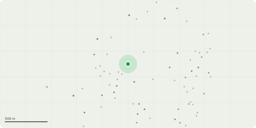
Approximate location
Proposal
Application for a Lawful Development Certificate (Proposed) for the replacement of existing palisade fence panels with JSP compliant fence. Fence to consist of standard 358 weld mesh to 3000mm Height, to be supported on 60x60 steel posts topped with Y Yoke. Top of fence to be completed with 6 No single strands barbed wire with concertina tape coil surmounted. Height not to exceed 4m. Complete with associated warning signage for razor tape. Colour to be RAL6005 Green to blend with tree line. Base to be excavated and concrete base lintel installed. Fence to follow the existing line of palisade and be installed between the Extant Masonry Columns. Original Cast Iron gates to be repainted with 358 Mesh and support posts to be installed offset and internally to the perimeter to provide the mandated closure of the perimeter and place anti climb measures to lamp posts adjacent to the fence but internal to our site.
Key dates
- Received 12 Mar 2026
- Validated 12 Mar 2026
- Started 12 Mar 2026
- Decided 30 Mar 2026
Planning history / related applications
No related planning applications have been identified in the current public OGL dataset.
Inside plotEdge
Go beyond the public record
This page is the public OGL record. plotEdge adds the private intelligence layer for this site - open it in the app to unlock:
- Ownership & title Registered owner and title from HM Land Registry.
- Viability & build potential Site scoring and development upside.
- Constraints Flood risk, green belt, conservation areas and designations.
- Approval signal Planning risk and approval-likelihood analysis.
- Comparable applications Decisions on similar nearby sites, side by side.
- Status alerts Get notified the moment this application changes.
Source: public planning application data from Medway, reused under the Open Government Licence v3.0. View the council source record. Council documents and drawings are not republished on plotEdge.