Medway
Medway/CAN/26/0307
Admirals Offices Main Gate Road Historic Dockyard Chatham Medway ME4 4TZ
- Reference
- Medway/CAN/26/0307
- Authority
- Medway
- Address
- Admirals Offices Main Gate Road Historic Dockyard Chatham Medway ME4 4TZ
- Postcode
- ME4 4TZ
- Decision
- Raise No Objection
- Received
- 18 Feb 2026
- Validated
- 18 Feb 2026
- Started
- 18 Feb 2026
- Decided
- 30 Mar 2026
- Source council
- Medway
- Council source record
- View public record
- Public data licence
- Open Government Licence v3.0
- Record updated
- 18 Jul 2026
- SEO index generated
- 24 Jul 2026
Location
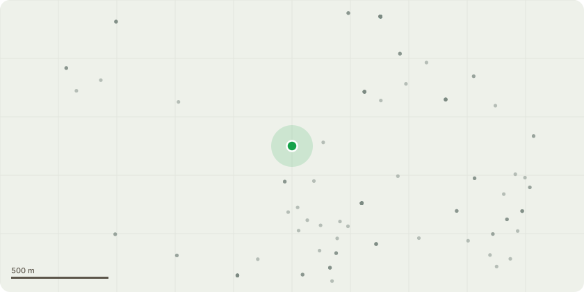
Approximate location
Proposal
T144 - Lime - Remove low dead branch over path. Excessively long dead low branch over path at 7 meters. T143 - Walnut - Fell to ground level Poor vigor and little sign of retrenchment or potential retrenchment suggests sufficient crown reduction to mitigate. Extensive Armillaria mellea fruiting bodies and decay at base would send tree into further decline. T140 - Horse Chestnut - Pollard at previous point at 9m (remove all branches below this point) Tree not in leaf at time of survey but dieback and poor bud density in upper crown in line with decay at base suggests poor compartmentalization of decay. Probably pollarded in distant past at 3 meters then semi pollarded more recently at 8 meters. Tree over footpath and increased target range picnic benches. Although there is reduced vigor with decay reasonable bud density elsewhere suggests tree may recover from re-pollarding at 9 meter to reduce risk of whole tree failure.
Key dates
- Received 18 Feb 2026
- Validated 18 Feb 2026
- Started 18 Feb 2026
- Decided 30 Mar 2026
Planning history / related applications
No related planning applications have been identified in the current public OGL dataset.
Inside plotEdge
Go beyond the public record
This page is the public OGL record. plotEdge adds the private intelligence layer for this site - open it in the app to unlock:
- Ownership & title Registered owner and title from HM Land Registry.
- Viability & build potential Site scoring and development upside.
- Constraints Flood risk, green belt, conservation areas and designations.
- Approval signal Planning risk and approval-likelihood analysis.
- Comparable applications Decisions on similar nearby sites, side by side.
- Status alerts Get notified the moment this application changes.
Source: public planning application data from Medway, reused under the Open Government Licence v3.0. View the council source record. Council documents and drawings are not republished on plotEdge.