Medway
Medway/CAN/25/0617
31 St Margarets Street Rochester Medway ME1 1TU
- Reference
- Medway/CAN/25/0617
- Authority
- Medway
- Address
- 31 St Margarets Street Rochester Medway ME1 1TU
- Postcode
- ME1 1TU
- Decision
- Raise No Objection
- Received
- 22 Mar 2025
- Validated
- 22 Apr 2025
- Started
- 22 Apr 2025
- Decided
- 5 Jun 2025
- Source council
- Medway
- Council source record
- View public record
- Public data licence
- Open Government Licence v3.0
- Record updated
- 18 Jul 2026
- SEO index generated
- 24 Jul 2026
Location
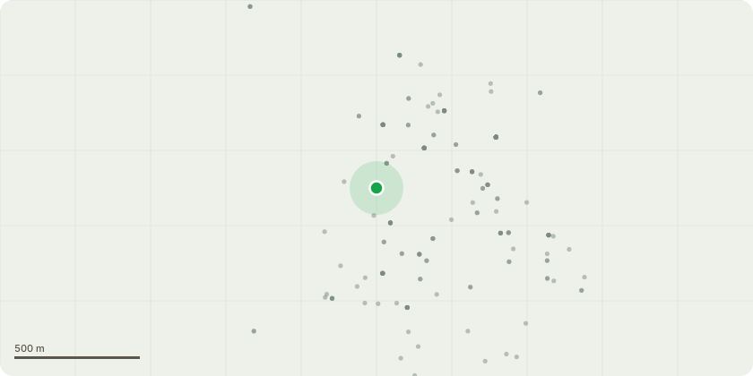
Approximate location
Proposal
1 - Apple Tree - Removal of Epicormic Limb it will be pruned approximately 30 cm above the union, back to suitable secondary growth points to encourage healthy regrowth while maintaining the trees natural form. Reduce the height of four dominant vertical branches by approximately 1 metre cutting back to appropriate lateral growth points. removal of deadwood 2 - Mulberry Tree - Prune two downward facing limbs located on the right-hand side of the tree they will be reduced to approximately 60cm in length, retaining them as sacrificial wood to support future healing and minimize stress to the tree. Reduce a limb protruding from the main stem at approximately 2 metres above ground level, it is proposed to reduce this limb to approximately 30cm from the stem to encourage healthy regrowth and maintain clearance beneath the canopy. Request to reduce a large horizontal limb extending towards the garages by approximately 2.5 metres, Reduce the large, unmaintained limb currently growing towards the Apple tree. Proposed works involve reducing this limb to a height of approximately 1 metre to eliminate obstruction3 - Mixed Trees and shrubs - Remove
Key dates
- Received 22 Mar 2025
- Validated 22 Apr 2025
- Started 22 Apr 2025
- Decided 5 Jun 2025
Planning history / related applications
No related planning applications have been identified in the current public OGL dataset.
Inside plotEdge
Go beyond the public record
This page is the public OGL record. plotEdge adds the private intelligence layer for this site - open it in the app to unlock:
- Ownership & title Registered owner and title from HM Land Registry.
- Viability & build potential Site scoring and development upside.
- Constraints Flood risk, green belt, conservation areas and designations.
- Approval signal Planning risk and approval-likelihood analysis.
- Comparable applications Decisions on similar nearby sites, side by side.
- Status alerts Get notified the moment this application changes.
Source: public planning application data from Medway, reused under the Open Government Licence v3.0. View the council source record. Council documents and drawings are not republished on plotEdge.