Manchester
Manchester/145661/LO/2026
St Anselm Hall Kent Road East Manchester M14 5BX
- Reference
- Manchester/145661/LO/2026
- Authority
- Manchester
- Application type
- Listed building consent (Alt/Ext)
- Address
- St Anselm Hall Kent Road East Manchester M14 5BX
- Postcode
- M14 5BX
- Status
- Under Consideration
- Source council
- Manchester
- Council source record
- View public record
- Public data licence
- Open Government Licence v3.0
- Record updated
- 12 Jul 2026
- SEO index generated
- 24 Jul 2026
Location
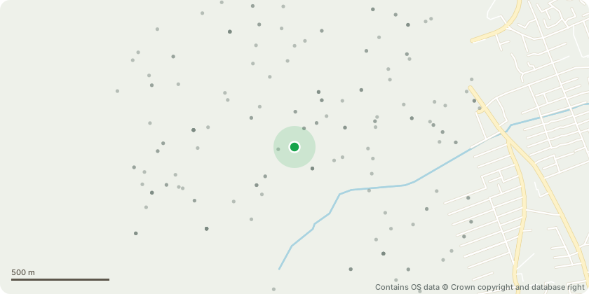
Approximate location - Contains OS data © Crown copyright and database right
Proposal
Listed Building Consent for: Works to roof including removal of existing slate coverings and associated detailing and reinstatement of slates and provision of replacements where necessary, together with provision of breather membrane, insulation; battens, ridge; hip, valley, abutments details; Replacement and repair to timber members; Replacement of rooflights; Works to chimney stacks including removal of vegetation, re-pointing and re-rendering, including replacement haunching and abutment details; Removal of existing asphalt flat roof coverings and replacement with tapered built-up mineral felt system including associated abutment details; Replacement cast iron rainwater goods including gutters, downpipes, shoes, chutes, fixing brackets etc; External Stucco / Render to have localised removal and replacement of de-bonding / defective render; and, External Repairs comprising localised re-pointing of facework masonry with like-for-like mortar
Planning history / related applications
No related planning applications have been identified in the current public OGL dataset.
Inside plotEdge
Go beyond the public record
This page is the public OGL record. plotEdge adds the private intelligence layer for this site - open it in the app to unlock:
- Ownership & title Registered owner and title from HM Land Registry.
- Viability & build potential Site scoring and development upside.
- Constraints Flood risk, green belt, conservation areas and designations.
- Approval signal Planning risk and approval-likelihood analysis.
- Comparable applications Decisions on similar nearby sites, side by side.
- Status alerts Get notified the moment this application changes.
Source: public planning application data from Manchester, reused under the Open Government Licence v3.0. View the council source record. Council documents and drawings are not republished on plotEdge.