Manchester
Manchester/145420/JO/2026
Site Of Former Day Nursery Longhurst Road Manchester M9 8NS
- Reference
- Manchester/145420/JO/2026
- Authority
- Manchester
- Application type
- Removal/variation of conditions
- Address
- Site Of Former Day Nursery Longhurst Road Manchester M9 8NS
- Postcode
- M9 8NS
- Status
- Final
- Source council
- Manchester
- Council source record
- View public record
- Public data licence
- Open Government Licence v3.0
- Record updated
- 12 Jul 2026
- SEO index generated
- 24 Jul 2026
Location
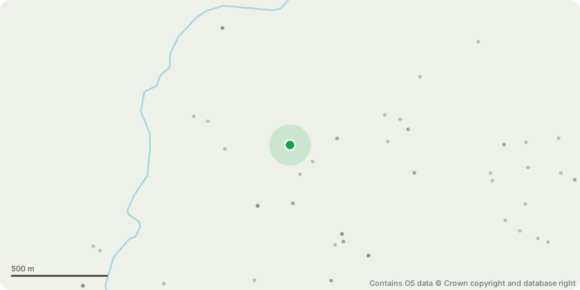
Approximate location - Contains OS data © Crown copyright and database right
Proposal
Variation of Conditions 2, 7, 9, 12, 21, 22, 30 and 32 attached to Planning Permission 136721/FO/2023 to revise the drawing numbers to allow PV panels to be installed to Blocks 2-9, changes to the levels to the rear gardens of Blocks 3-9 to allow for the removal of the steps, changes in boundary treatments to respond to existing levels and include facing materials to retaining walls on landscaping plans, lowering of Block 2 eaves to be in line with Block 1, removing external air source heat pumps between houses to provide easier access, changing dormer windows, changing materials to corner dormers to Blocks 3 & 9, increasing cill height of first floor front elevation windows to Blocks 3-9 to accommodate timber frame to parapet roofs below, increase in path width to Block 1, reduce size of trees to the front of houses and apartments, reducing sizes of trees to the rear of the retaining wall to reduce impact of roots on retaining wall and removal of boundary walls to the fronts of houses.
Planning history / related applications
No related planning applications have been identified in the current public OGL dataset.
Inside plotEdge
Go beyond the public record
This page is the public OGL record. plotEdge adds the private intelligence layer for this site - open it in the app to unlock:
- Ownership & title Registered owner and title from HM Land Registry.
- Viability & build potential Site scoring and development upside.
- Constraints Flood risk, green belt, conservation areas and designations.
- Approval signal Planning risk and approval-likelihood analysis.
- Comparable applications Decisions on similar nearby sites, side by side.
- Status alerts Get notified the moment this application changes.
Source: public planning application data from Manchester, reused under the Open Government Licence v3.0. View the council source record. Council documents and drawings are not republished on plotEdge.