Maidstone
Maidstone/26/502677/PNMA
Invicta House, Ground Floor Pudding Lane Maidstone Kent ME14 1NX
- Reference
- Maidstone/26/502677/PNMA
- Authority
- Maidstone
- Application type
- PNMA
- Address
- Invicta House, Ground Floor Pudding Lane Maidstone Kent ME14 1NX
- Postcode
- ME14 1NX
- Status
- Awaiting decision
- Received
- 14 Jul 2026
- Started
- 14 Jul 2026
- Source council
- Maidstone
- Council source record
- View public record
- Public data licence
- Open Government Licence v3.0
- Record updated
- 18 Jul 2026
- SEO index generated
- 24 Jul 2026
Location
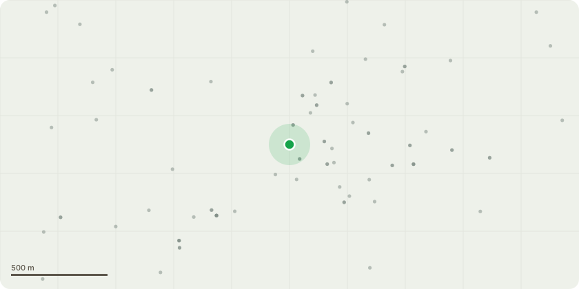
Approximate location
Proposal
Prior notification for the change of use from commercial, business and service (Use Class E on the ground floor to form a studio flat (Use Class C3). For its prior approval to: Transport impacts of the development, particularly to ensure safe site access - Contamination risks in relation to the building - Flooding risks in relation to the building - Impacts of noise from commercial premises on the intended occupiers of the development - Where the building is located in a conservation area, and the development involves a change of use of the whole or part of the ground floor, the impact of that change of use on the character or sustainability of the conservation area - The provision of adequate natural light in all habitable rooms of the dwellinghouses - The impact on intended occupiers of the development of the introduction of residential use in an area the authority considers to be important for general or heavy industry, waste management, storage and distribution, or a mix of such uses; and where the development involves the loss of services provided by a registered nursery, or a health centre maintained under section 2 or 3 of the National Health Service Act -The impact on the local provision of the type of services lost - Where the development meets the fire risk condition, the fire safety impacts on the intended occupants of the building.
Key dates
- Received 14 Jul 2026
- Started 14 Jul 2026
Planning history / related applications
No related planning applications have been identified in the current public OGL dataset.
Inside plotEdge
Go beyond the public record
This page is the public OGL record. plotEdge adds the private intelligence layer for this site - open it in the app to unlock:
- Ownership & title Registered owner and title from HM Land Registry.
- Viability & build potential Site scoring and development upside.
- Constraints Flood risk, green belt, conservation areas and designations.
- Approval signal Planning risk and approval-likelihood analysis.
- Comparable applications Decisions on similar nearby sites, side by side.
- Status alerts Get notified the moment this application changes.
Source: public planning application data from Maidstone, reused under the Open Government Licence v3.0. View the council source record. Council documents and drawings are not republished on plotEdge.