Maidstone
Maidstone/26/501785/NMAMD
1B Bayford Road Sittingbourne Kent ME10 3AD
- Reference
- Maidstone/26/501785/NMAMD
- Authority
- Maidstone
- Application type
- NMAMD
- Address
- 1B Bayford Road Sittingbourne Kent ME10 3AD
- Postcode
- ME10 3AD
- Status
- Decided
- Decision
- Application Withdrawn
- Received
- 12 May 2026
- Validated
- 12 May 2026
- Started
- 12 May 2026
- Decided
- 8 Jun 2026
- Source council
- Maidstone
- Council source record
- View public record
- Public data licence
- Open Government Licence v3.0
- Record updated
- 18 Jul 2026
- SEO index generated
- 24 Jul 2026
Location
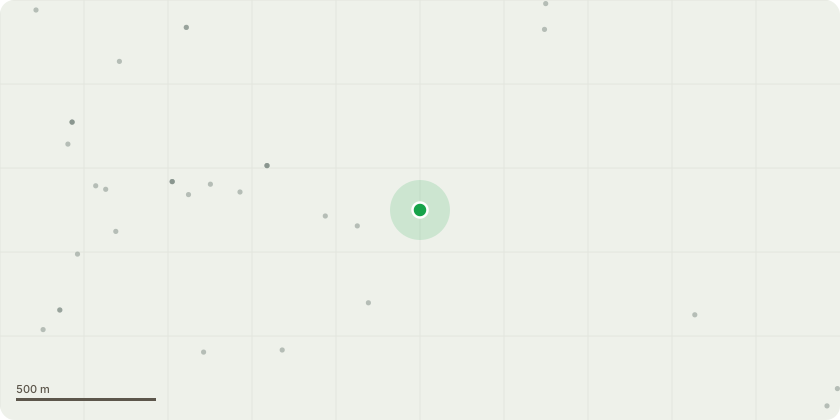
Approximate location
Proposal
Non Material Amendment to 18/502533/FULL: Demolition of existing two storey building. Erection of building consisting of 3 no. flats.- Changes mainly apply to change from brick and mortar to timber frame of the ground and upper floors and used of cladding for the same floors instead of render. The lower ground floor remains as approved. Changes that are being proposed are as follows: The lower ground floor outer wall is made of bricks and mortar and will be rendered as proposed. Insulation of the lower ground flat: - 100mm PIR insulation will be installed internally to the basement walls that have cavities that are infilled with concrete. - 50mm PIR insulation will be installed internally to all walls with 100mm full fill cavity insulation However, the ground and upper floor outer walls will be built with frame built and cladding applied to the outer walls instead of rendering. Insulation of the ground and upper walls are as follows scribed from the inner to the outer: The walls has an inner vapour control layer (VCL) and plaster board Over that is a 50mm rigid insulation Over that is a 40mm clear service void This is followed by a 100mm rigid insulation panel This is covered by a 9mm OSB sheathing This is covered by a Foil Breather Membrane Protect TF200 Thermon battened 50mm clear vented cavity On the outer visible wall will be lightweight cladding The wall has an overall U Value of 0.15W/m*2K
Key dates
- Received 12 May 2026
- Validated 12 May 2026
- Started 12 May 2026
- Decided 8 Jun 2026
Planning history / related applications
No related planning applications have been identified in the current public OGL dataset.
Inside plotEdge
Go beyond the public record
This page is the public OGL record. plotEdge adds the private intelligence layer for this site - open it in the app to unlock:
- Ownership & title Registered owner and title from HM Land Registry.
- Viability & build potential Site scoring and development upside.
- Constraints Flood risk, green belt, conservation areas and designations.
- Approval signal Planning risk and approval-likelihood analysis.
- Comparable applications Decisions on similar nearby sites, side by side.
- Status alerts Get notified the moment this application changes.
Source: public planning application data from Maidstone, reused under the Open Government Licence v3.0. View the council source record. Council documents and drawings are not republished on plotEdge.