Luton
Luton/26/00134/DOC
Land At Freemans Green Sherd Close Luton LU3 3LY
- Reference
- Luton/26/00134/DOC
- Authority
- Luton
- Application type
- DOC
- Address
- Land At Freemans Green Sherd Close Luton LU3 3LY
- Postcode
- LU3 3LY
- Status
- PER - Application Permitted
- Decision
- Application Permitted
- Received
- 5 Feb 2026
- Validated
- 5 Feb 2026
- Started
- 5 Feb 2026
- Decided
- 23 Mar 2026
- Source council
- Luton
- Council source record
- View public record
- Public data licence
- Open Government Licence v3.0
- Record updated
- 18 Jul 2026
- SEO index generated
- 24 Jul 2026
Location
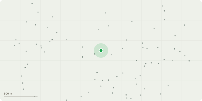
Approximate location
Proposal
Erection of 15 dwellinghouses (nine four-bedroom and six five-bedroom) with associated car parking and external works. (Resubmission). Minor material amendment of planning permission 19/01646/FUL dated 17th May 2021. (Ground Floor levels have changed. Building footprints have been increased to accommodate greater wall insulation. Location of blocks A, B and C have been adjusted due to the knock on effect of increasing the block sizes. Blocks D and E have been rotated to better align with the existing footpath, the position of these blocks have also been adjusted due to increasing each building footprint. Amendments to road layouts are to comply with highways guidance. Window sizes and fenestration have been amended for better consistency throughout. Window locations have been updated to suit amended internal room layouts. Discharge of condition 20 (Electric Charging Point Strategy) of Planning application 23/01198/MMAMD dated 19th February 2024.
Key dates
- Received 5 Feb 2026
- Validated 5 Feb 2026
- Started 5 Feb 2026
- Decided 23 Mar 2026
Planning history / related applications
No related planning applications have been identified in the current public OGL dataset.
Inside plotEdge
Go beyond the public record
This page is the public OGL record. plotEdge adds the private intelligence layer for this site - open it in the app to unlock:
- Ownership & title Registered owner and title from HM Land Registry.
- Viability & build potential Site scoring and development upside.
- Constraints Flood risk, green belt, conservation areas and designations.
- Approval signal Planning risk and approval-likelihood analysis.
- Comparable applications Decisions on similar nearby sites, side by side.
- Status alerts Get notified the moment this application changes.
Source: public planning application data from Luton, reused under the Open Government Licence v3.0. View the council source record. Council documents and drawings are not republished on plotEdge.