Lewisham
Lewisham/DC/26/144692
118 PERRY VALE, LONDON, SE23 2LQ
- Reference
- Lewisham/DC/26/144692
- Authority
- Lewisham
- Address
- 118 PERRY VALE, LONDON, SE23 2LQ
- Postcode
- SE23 2LQ
- Status
- Unknown
- Decision
- Granted
- Received
- 13 Jul 2026
- Validated
- 13 Jul 2026
- Started
- 13 Jul 2026
- Decided
- 20 Jul 2026
- Source council
- Lewisham
- Council source record
- View public record
- Public data licence
- Open Government Licence v3.0
- Record updated
- 21 Jul 2026
- SEO index generated
- 24 Jul 2026
Location
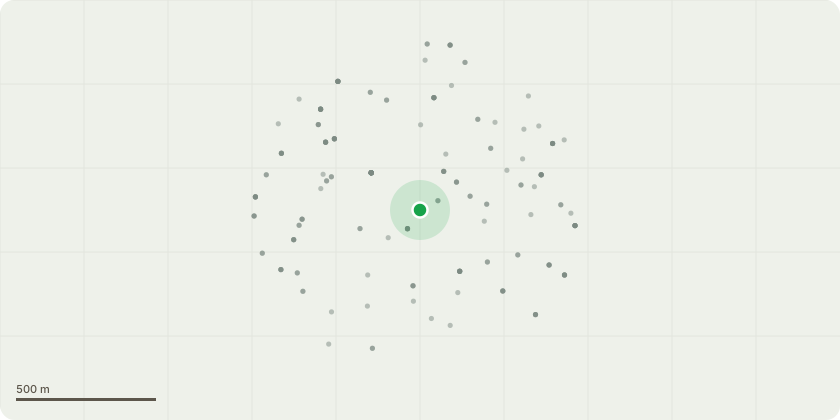
Approximate location
Proposal
FRONT (communal lawn): ONE Weeping Beech (T1, T16 in TPO)(ht.14m) CROWN REDUCE HEIGHT by approx.3m to approx.ht.9-11m, REDUCE SPREAD by 2m from 9m to 7m. Reason: tree has suffered substantial failure at top of canopy leaving several lateral branches compromised and at risk of imminent failure, reduction will depend on the extent of damage; only what is required to make the tree safe to be removed which we believe is no more than 3 metres; to clear fallen limbs all chip to be left on site for client's use.The London Borough of Lewisham (116, 118, 118A Perry Vale SE23) Tree Preservation Order 1974.Informative A: huge thank you for managing the tree sensitively to retain the feature tree for treed character of the site, amenity, wildlife and shade to reduce increasingly high summer temperatures due to climate change. Informative B: please create habitat log piles rather than chipping arisings for wildlife and biodiversity. Informative C: SITE NOTE: replacement tree planting required: ref. DC/25/140323 - TPO application condition 2 for 2x replacement trees: 1x small leaved lime and 1x hornbeam or sessile oak and DC/24/135490 ? TPO application condition 3 to replace 1x dead sycamore with 1x selected from Italian alder, Japanese Pagoda Tree, Robinia, Gleditsia, wild cherry, field maple, sessile oak, Kentucky Coffee Tree.
Key dates
- Received 13 Jul 2026
- Validated 13 Jul 2026
- Started 13 Jul 2026
- Decided 20 Jul 2026
Planning history / related applications
No related planning applications have been identified in the current public OGL dataset.
Inside plotEdge
Go beyond the public record
This page is the public OGL record. plotEdge adds the private intelligence layer for this site - open it in the app to unlock:
- Ownership & title Registered owner and title from HM Land Registry.
- Viability & build potential Site scoring and development upside.
- Constraints Flood risk, green belt, conservation areas and designations.
- Approval signal Planning risk and approval-likelihood analysis.
- Comparable applications Decisions on similar nearby sites, side by side.
- Status alerts Get notified the moment this application changes.
Source: public planning application data from Lewisham, reused under the Open Government Licence v3.0. View the council source record. Council documents and drawings are not republished on plotEdge.