Lewisham
Lewisham/DC/26/144396
131A WELLMEADOW ROAD, LONDON, SE6 1HN
- Reference
- Lewisham/DC/26/144396
- Authority
- Lewisham
- Address
- 131A WELLMEADOW ROAD, LONDON, SE6 1HN
- Postcode
- SE6 1HN
- Status
- Unknown
- Decision
- Granted
- Received
- 17 Jun 2026
- Validated
- 18 Jun 2026
- Started
- 18 Jun 2026
- Decided
- 22 Jun 2026
- Source council
- Lewisham
- Council source record
- View public record
- Public data licence
- Open Government Licence v3.0
- Record updated
- 18 Jul 2026
- SEO index generated
- 24 Jul 2026
Location
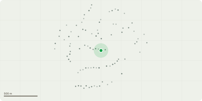
Approximate location
Proposal
REAR (to Sandhurst Rd): ONE Sycamore (TPO T3)(ht.15m) SNAPPED & FALLEN.Reason: sycamore TPO T3 had a decayed stem with embedded metal, it split and snapped on 3 June lodging on TPO T2, then fell naturally on 4 June 2026 across two rear adjacent gardens and the carwash to the rear.The London Borough of Lewisham (131 Wellmeadow Road) Tree Preservation Order 1973.Informative A: the landowner has a duty to plant a replacement TPO tree when there is an urgent necessity to remove the tree because it is dead or presents an immediate risk of serious harm, ref. para 79 and 80 of Tree Preservation Orders and trees in conservation areas, government guidance 6 March 2014. Informative B: the replacement tree is required in the 5-day notice consent to ensure the tree group feature is retained long-term for public realm on Sandhurst Road and other benefits such as for wildlife, reducing temperatures during extreme heatwaves and flood mitigation, large canopy species required such as Japanese Pagoda Tree (Styphnolobium japonicum), The Bee-Bee Tree (Tetradium daniellii), the Wild Service Tree, The Golden Rain Tree (Koelreuteria paniculata), Turkish hazel, Hackberry (Celtis australis), Kentucky Coffee Tree (Gymnocladus dioica). Informative C: huge thank you for retaining the TPO trees for amenity, wildlife, seasonal interest and cooling during ever more frequent heat waves due to climate change; Informative D: please create habitat log piles with arisings for wildlife and biodiversity.
Key dates
- Received 17 Jun 2026
- Validated 18 Jun 2026
- Started 18 Jun 2026
- Decided 22 Jun 2026
Planning history / related applications
No related planning applications have been identified in the current public OGL dataset.
Inside plotEdge
Go beyond the public record
This page is the public OGL record. plotEdge adds the private intelligence layer for this site - open it in the app to unlock:
- Ownership & title Registered owner and title from HM Land Registry.
- Viability & build potential Site scoring and development upside.
- Constraints Flood risk, green belt, conservation areas and designations.
- Approval signal Planning risk and approval-likelihood analysis.
- Comparable applications Decisions on similar nearby sites, side by side.
- Status alerts Get notified the moment this application changes.
Source: public planning application data from Lewisham, reused under the Open Government Licence v3.0. View the council source record. Council documents and drawings are not republished on plotEdge.