Lewisham
Lewisham/DC/26/143935
THE HORNIMAN MUSEUM & GARDENS, 100 LONDON ROAD, LONDON, SE23 3PQ
- Reference
- Lewisham/DC/26/143935
- Authority
- Lewisham
- Address
- THE HORNIMAN MUSEUM & GARDENS, 100 LONDON ROAD, LONDON, SE23 3PQ
- Postcode
- SE23 3PQ
- Status
- Unknown
- Decision
- Granted
- Received
- 5 May 2026
- Validated
- 7 May 2026
- Started
- 7 May 2026
- Decided
- 18 May 2026
- Source council
- Lewisham
- Council source record
- View public record
- Public data licence
- Open Government Licence v3.0
- Record updated
- 18 Jul 2026
- SEO index generated
- 24 Jul 2026
Location
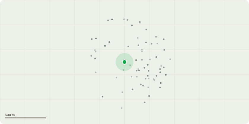
Approximate location
Proposal
REAR (by pitch & putt): ONE Cedar (T1)(approx.ht.16m) remove one snapped limb.Reason: it has snapped and hanging in the canopy, to be removed to mitigate health & safety issues as the gardens are a high volume area.REAR (by rail line nature trail): ONE Ash (T2)(approx.ht.12m) remove snapped and fallen canopy. Reason: canopy has snapped out due to a large cavity causing structural failure and the canopy is now lying on the ground, the stem to be left as it stands as monolith.Informative A: thank you for careful management to retain trees and monoliths for amenity, wildlife and landscape character. Informative B: successional planting is encouraged with another cedar planted nearby for future feature tree in this part of the garden near the top entrance off Horniman Drive. Informative C: please create habitat log piles with some arisings for wildlife and biodiversity.
Key dates
- Received 5 May 2026
- Validated 7 May 2026
- Started 7 May 2026
- Decided 18 May 2026
Planning history / related applications
No related planning applications have been identified in the current public OGL dataset.
Inside plotEdge
Go beyond the public record
This page is the public OGL record. plotEdge adds the private intelligence layer for this site - open it in the app to unlock:
- Ownership & title Registered owner and title from HM Land Registry.
- Viability & build potential Site scoring and development upside.
- Constraints Flood risk, green belt, conservation areas and designations.
- Approval signal Planning risk and approval-likelihood analysis.
- Comparable applications Decisions on similar nearby sites, side by side.
- Status alerts Get notified the moment this application changes.
Source: public planning application data from Lewisham, reused under the Open Government Licence v3.0. View the council source record. Council documents and drawings are not republished on plotEdge.