Lewisham
Lewisham/DC/26/143771
88 PEPYS ROAD, LONDON, SE14 5SD
- Reference
- Lewisham/DC/26/143771
- Authority
- Lewisham
- Address
- 88 PEPYS ROAD, LONDON, SE14 5SD
- Postcode
- SE14 5SD
- Status
- Unknown
- Decision
- Raise No Objection
- Received
- 22 Apr 2026
- Validated
- 22 Apr 2026
- Started
- 22 Apr 2026
- Decided
- 5 Jun 2026
- Source council
- Lewisham
- Council source record
- View public record
- Public data licence
- Open Government Licence v3.0
- Record updated
- 18 Jul 2026
- SEO index generated
- 24 Jul 2026
Location
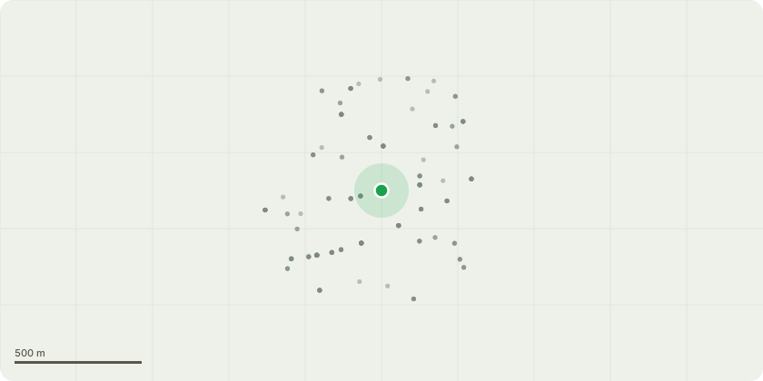
Approximate location
Proposal
FRONT (street tree): ONE London Plane (T2)(ht.13-15m) INSTALL ROOT BARRIER to front and side of house within curtilage of no.88, length 18.5m, depth 4.6m. Reason: to retain the street tree implicated in subsidence at the property, ground works to remove small fibrous roots to facilitate installation of root barrier. Informative A: the installation of the root barrier is hugely appreciated to retain the London Plane street tree which contributes significantly to street character of tree-lined Pepys Road with mature plane trees along both sides. These street trees are a major landscape feature for streetscape amenity, for wildlife, reduction in air pollution and providing shade to reduce increasingly high spring and summer temperatures due to climate change. Informative B: TP/BH3 by front bay window: foundation 400mm depth - which is less than current NHBC guidelines for clay soils, London Plane roots identified 0.40-3.15m bgl, but soil below foundations is not desiccated, defective drains being investigated, heave risk potential approx.21mm.
Key dates
- Received 22 Apr 2026
- Validated 22 Apr 2026
- Started 22 Apr 2026
- Decided 5 Jun 2026
Planning history / related applications
No related planning applications have been identified in the current public OGL dataset.
Inside plotEdge
Go beyond the public record
This page is the public OGL record. plotEdge adds the private intelligence layer for this site - open it in the app to unlock:
- Ownership & title Registered owner and title from HM Land Registry.
- Viability & build potential Site scoring and development upside.
- Constraints Flood risk, green belt, conservation areas and designations.
- Approval signal Planning risk and approval-likelihood analysis.
- Comparable applications Decisions on similar nearby sites, side by side.
- Status alerts Get notified the moment this application changes.
Source: public planning application data from Lewisham, reused under the Open Government Licence v3.0. View the council source record. Council documents and drawings are not republished on plotEdge.