Lewisham
Lewisham/DC/26/143552
LOWER FLAT, 153 CULVERLEY ROAD, LONDON, SE6 2JZ
- Reference
- Lewisham/DC/26/143552
- Authority
- Lewisham
- Address
- LOWER FLAT, 153 CULVERLEY ROAD, LONDON, SE6 2JZ
- Postcode
- SE6 2JZ
- Status
- Unknown
- Decision
- Raise No Objection
- Received
- 30 Mar 2026
- Validated
- 30 Mar 2026
- Started
- 30 Mar 2026
- Decided
- 7 May 2026
- Source council
- Lewisham
- Council source record
- View public record
- Public data licence
- Open Government Licence v3.0
- Record updated
- 18 Jul 2026
- SEO index generated
- 24 Jul 2026
Location
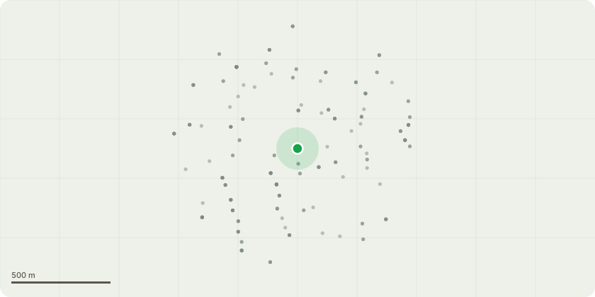
Approximate location
Proposal
REAR: TWO Sycamore (T1 & T2)(T1 ht.8m) (T2 ht.5m) FELL.Reason: due to poor form, co-dominant growth and limited long-term amenity value. REAR: ONE Prunus (T3)(ht.4m) FELL.Reason: due to low quality and limited contribution to the overall site. REAR: G1 / G2 Minor Vegetation and Shrubs REMOVE. Reason: small self-seeded trees, shrubs, and debris to ground level (exempt work). Reason: the works are part of a garden redesign, with replacement planting proposed to improve the long-term amenity and aesthetic value of the site.Informative A: huge thanks for replacement tree planting in the garden redesign for urban greening benefits, retaining Prunus T3 is encouraged to provide a character tree in the new landscape scheme. Informative B: please create habitat log piles and 'dead hedge' with arisings, including plants for pollinators, native species and hedgehog highway holes in any new fencing, for wildlife and biodiversity.
Key dates
- Received 30 Mar 2026
- Validated 30 Mar 2026
- Started 30 Mar 2026
- Decided 7 May 2026
Planning history / related applications
No related planning applications have been identified in the current public OGL dataset.
Inside plotEdge
Go beyond the public record
This page is the public OGL record. plotEdge adds the private intelligence layer for this site - open it in the app to unlock:
- Ownership & title Registered owner and title from HM Land Registry.
- Viability & build potential Site scoring and development upside.
- Constraints Flood risk, green belt, conservation areas and designations.
- Approval signal Planning risk and approval-likelihood analysis.
- Comparable applications Decisions on similar nearby sites, side by side.
- Status alerts Get notified the moment this application changes.
Source: public planning application data from Lewisham, reused under the Open Government Licence v3.0. View the council source record. Council documents and drawings are not republished on plotEdge.