Lewisham
Lewisham/DC/26/143369
62 BELMONT HILL, LONDON, SE13 5DN
- Reference
- Lewisham/DC/26/143369
- Authority
- Lewisham
- Address
- 62 BELMONT HILL, LONDON, SE13 5DN
- Postcode
- SE13 5DN
- Status
- Unknown
- Decision
- Granted
- Received
- 13 Mar 2026
- Validated
- 13 Mar 2026
- Started
- 13 Mar 2026
- Decided
- 16 Mar 2026
- Source council
- Lewisham
- Council source record
- View public record
- Public data licence
- Open Government Licence v3.0
- Record updated
- 18 Jul 2026
- SEO index generated
- 24 Jul 2026
Location
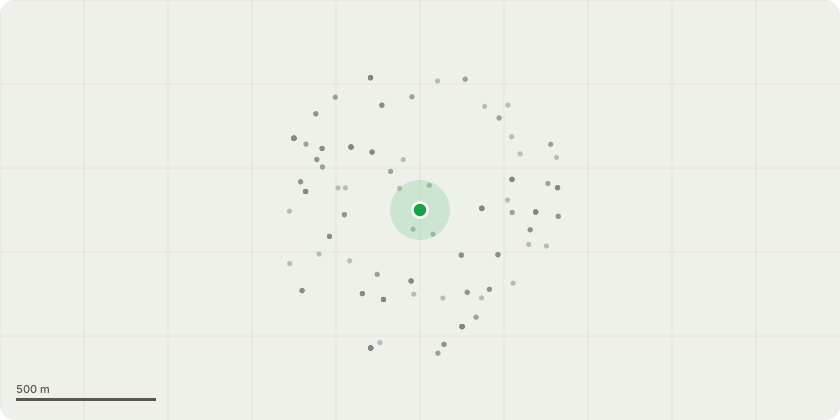
Approximate location
Proposal
REAR: ONE Horse Chestnut (T004)(ht.14m) FALLEN. Reason: Crown Tree arboricultural survey 17/07/2025 found buttress heavily decayed, low density wood, fungal decay with Meripilus giganteus. Duty to replace appliesInformative A: the landowner has a duty to plant another tree of an appropriate size and species when a tree is removed in a conservation area because it is dead or presents an immediate risk of serious harm. Ref. Tree Preservation Orders and trees in conservation areas, guidance, para 121. Informative B: large canopy replacement tree species to be selected from: small leaved lime, oak, sycamore, Robinia, Norway maple, wild cherry, beech, field maple, whitebeam, wild service tree (Sorbus torminalis), Bird cherry, Tulip Tree, hornbeam, hop hornbeam (Ostrya carpinifolia), Indian horse chestnut, Caucasian wingnut (Pterocarya fraxinifolia), Pride of India/Golden Rain tree (Koelreuteria paniculata), Japanese pagoda tree (Styphnolobium japonicum), Italian alder, Hackberry (Celtis australis), Kentucky Coffee Tree (Gymnocladus dioica), Liquidambar, Bee-bee Tree (Tetradium daniellii), Turkish hazel, Turkey oak, Holm oak, Caucasian elm (Zelkova carpinifolia) for amenity, wildlife and shade to reduce increasingly high summer temperatures due to climate change. Informative C: please create habitat log piles with arisings for wildlife and biodiversity.
Key dates
- Received 13 Mar 2026
- Validated 13 Mar 2026
- Started 13 Mar 2026
- Decided 16 Mar 2026
Planning history / related applications
No related planning applications have been identified in the current public OGL dataset.
Inside plotEdge
Go beyond the public record
This page is the public OGL record. plotEdge adds the private intelligence layer for this site - open it in the app to unlock:
- Ownership & title Registered owner and title from HM Land Registry.
- Viability & build potential Site scoring and development upside.
- Constraints Flood risk, green belt, conservation areas and designations.
- Approval signal Planning risk and approval-likelihood analysis.
- Comparable applications Decisions on similar nearby sites, side by side.
- Status alerts Get notified the moment this application changes.
Source: public planning application data from Lewisham, reused under the Open Government Licence v3.0. View the council source record. Council documents and drawings are not republished on plotEdge.