Lewisham
Lewisham/DC/26/143170
6 DRAKE ROAD, LONDON, SE4 1QH
- Reference
- Lewisham/DC/26/143170
- Authority
- Lewisham
- Address
- 6 DRAKE ROAD, LONDON, SE4 1QH
- Postcode
- SE4 1QH
- Status
- Unknown
- Decision
- Raise No Objection
- Received
- 2 Mar 2026
- Validated
- 2 Mar 2026
- Started
- 2 Mar 2026
- Decided
- 13 Apr 2026
- Source council
- Lewisham
- Council source record
- View public record
- Public data licence
- Open Government Licence v3.0
- Record updated
- 18 Jul 2026
- SEO index generated
- 24 Jul 2026
Location
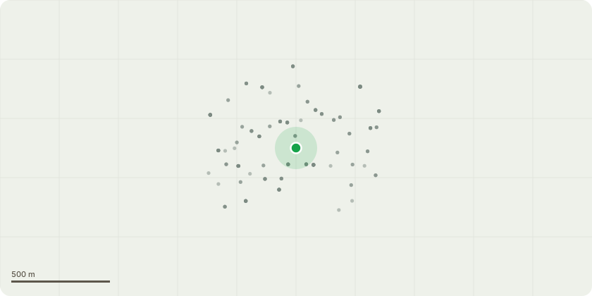
Approximate location
Proposal
FRONT: ONE Broad-leaved Cockspur Thorn (T1)(ht.5m) FELL. Reason: tree is dead, around 40yrs old, with fungi growing at the base of the trunk, proposed to replace with the same species of tree. Duty to replace applies.Informative A: the landowner has a duty to plant another tree of an appropriate size and species when a tree is removed in a conservation area because it is dead or presents an immediate risk of serious harm. Ref. Tree Preservation Orders and trees in conservation areas, guidance, para 121.Informative B: the proposed replacement tree planting is hugely appreciated for amenity, wildlife and shade to reduce increasingly high summer temperatures due to climate change, other suitable species include such as: crab apple, hazel, Laburnum, Cornus mas, witch hazel, wayfaring tree, Magnolia liliiflora 'nigra', quince (Cydonia oblonga), Stachyurus praecox, Orange-barked Myrtle (Myrtus apiculate), Seven-son tree, (Heptacodium miconioides). Informative C: please retain high stump and create habitat log piles with arisings for wildlife and biodiversity.
Key dates
- Received 2 Mar 2026
- Validated 2 Mar 2026
- Started 2 Mar 2026
- Decided 13 Apr 2026
Planning history / related applications
No related planning applications have been identified in the current public OGL dataset.
Inside plotEdge
Go beyond the public record
This page is the public OGL record. plotEdge adds the private intelligence layer for this site - open it in the app to unlock:
- Ownership & title Registered owner and title from HM Land Registry.
- Viability & build potential Site scoring and development upside.
- Constraints Flood risk, green belt, conservation areas and designations.
- Approval signal Planning risk and approval-likelihood analysis.
- Comparable applications Decisions on similar nearby sites, side by side.
- Status alerts Get notified the moment this application changes.
Source: public planning application data from Lewisham, reused under the Open Government Licence v3.0. View the council source record. Council documents and drawings are not republished on plotEdge.