Lewisham
Lewisham/DC/26/142875
INNER LONDON PROBATION SERVICE BAIL HOSTEL, 7 CANADIAN AVENUE, LONDON, SE6 3AU
- Reference
- Lewisham/DC/26/142875
- Authority
- Lewisham
- Address
- INNER LONDON PROBATION SERVICE BAIL HOSTEL, 7 CANADIAN AVENUE, LONDON, SE6 3AU
- Postcode
- SE6 3AU
- Status
- Unknown
- Decision
- Raise No Objection
- Received
- 2 Feb 2026
- Validated
- 11 Feb 2026
- Started
- 11 Feb 2026
- Decided
- 25 Mar 2026
- Source council
- Lewisham
- Council source record
- View public record
- Public data licence
- Open Government Licence v3.0
- Record updated
- 18 Jul 2026
- SEO index generated
- 24 Jul 2026
Location
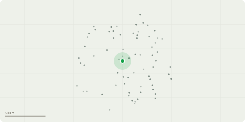
Approximate location
Proposal
FRONT: ONE Copper Beech (T1)(ht.15m) FELL.Reason: existing 6-wk notice DC/25/139150 to fell front beech is still current; the tree has been managed poorly in the past, is situated close to buildings, high crown has not reacted well, has dieback and has delaminated bark on the main stem. REAR: ONE Horse Chestnut (T2)(ht.13m) FELL or CROWN REDUCE by approx.5m to approx.safe ht.8m as discussed with agent in email exchange 20 February 2026.Reason: the tree is an historic low pollard, regrown and subsequently pollarded at a higher point and regrown with most limbs over-extended and bowing. REPLANTING PROPOSAL: A replacement tree will be provided for T1 after the tree has been removed, the same species will be chosen but will be in a slightly different location due the stump not being grounded out.Informative A: huge thank you for the replacement tree planting for front beech (T1). A large canopy species is encouraged planted as a nursery whip in the same position between the roots or in the front garden to maintain urban forest amenity, wildlife and environmental benefits and shade to reduce high temperatures in increasingly hot summers due to the climate change. Informative B: Large canopy species suggestions such as: small leaved lime, sessile oak, sycamore, Robinia, Norway maple, wild cherry, beech, field maple, whitebeam, wild service tree (Sorbus torminalis), Bird cherry, Tulip Tree, Ginkgo, hornbeam, hop hornbeam (Ostrya carpinifolia), Indian horse chestnut, Caucasian wingnut (Pterocarya fraxinifolia), Pride of India/Golden Rain tree (Koelreuteria paniculata), Japanese pagoda tree (Styphnolobium japonicum), Italian alder, Hackberry (Celtis australis), Kentucky Coffee Tree (Gymnocladus dioica), Liquidambar, Bee-bee Tree (Tetradium daniellii), Turkish hazel, Turkey oak, Holm oak, Caucasian elm (Zelkova carpinifolia)Informative C: as discussed with agent in email 20 Feb 2026, retention of rear Horse Chestnut (T2) is encouraged with crown reduction to safe height by approx.5m to ht.8m to most recent previous pollard points, to retain green infrastructure, rear amenity, screening and environmental benefits including reducing air pollution from the nearby busy roads including the congested south circular.Informative D: please retain the timber on site and create habitat log piles with arisings for wildlife and biodiversity.Informative E: previous 6-week notice in 2024, ref DC/24/135169, to fell a rear cherry due to extensive decay throughout the main stem. A proposed replacement tree was volunteered, and if not yet planted, the replacement tree is encouraged to maintain the treed character of the site, please select from: crab apple, hawthorn, Amelanchier, pear, quince, mulberry, Laburnum, cherry plum, Tibetan cherry, paperbark maple.
Key dates
- Received 2 Feb 2026
- Validated 11 Feb 2026
- Started 11 Feb 2026
- Decided 25 Mar 2026
Planning history / related applications
No related planning applications have been identified in the current public OGL dataset.
Inside plotEdge
Go beyond the public record
This page is the public OGL record. plotEdge adds the private intelligence layer for this site - open it in the app to unlock:
- Ownership & title Registered owner and title from HM Land Registry.
- Viability & build potential Site scoring and development upside.
- Constraints Flood risk, green belt, conservation areas and designations.
- Approval signal Planning risk and approval-likelihood analysis.
- Comparable applications Decisions on similar nearby sites, side by side.
- Status alerts Get notified the moment this application changes.
Source: public planning application data from Lewisham, reused under the Open Government Licence v3.0. View the council source record. Council documents and drawings are not republished on plotEdge.