Lewisham
Lewisham/DC/26/142804
66 SOUTHBROOK ROAD, LONDON, SE12 8LL
- Reference
- Lewisham/DC/26/142804
- Authority
- Lewisham
- Address
- 66 SOUTHBROOK ROAD, LONDON, SE12 8LL
- Postcode
- SE12 8LL
- Status
- Unknown
- Decision
- Objection Tree Preservation Order made
- Received
- 27 Jan 2026
- Validated
- 25 Mar 2026
- Started
- 25 Mar 2026
- Decided
- 13 Apr 2026
- Source council
- Lewisham
- Council source record
- View public record
- Public data licence
- Open Government Licence v3.0
- Record updated
- 18 Jul 2026
- SEO index generated
- 24 Jul 2026
Location
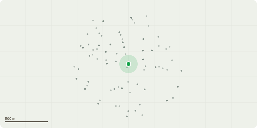
Approximate location
Proposal
FRONT:ONE very Large Pine tree (T1) Ht approx 10m Fell to ground level.REASON: Tree is very large, not a native species. It is leaning a lot, based on the corner of the plot at junction between 66 Southbrook rd & Manor lane, besides the saftey issue, there is the damage to the street paving the roots can cause. Also damage to the garden wall, driveway & also possible structural damage to the house; the tree has just become far too tall. REPLANTING PROPOSAL: We will be happy to plant a new tree along the same boundary wall. We have planted others in the front and back garden already over the years but there is space for one more.We will plant it along the same wall near the existing tree if there is adequate space for it. Alternatively, we can plant one in the back garden.We have not decided what tree to plant and are open to suggestions. There are nice trees that blossom all along Southbrook Road. They do not seem to grow too big to cause damage. So if you know what they're called we can plant one of those.
Key dates
- Received 27 Jan 2026
- Validated 25 Mar 2026
- Started 25 Mar 2026
- Decided 13 Apr 2026
Planning history / related applications
No related planning applications have been identified in the current public OGL dataset.
Inside plotEdge
Go beyond the public record
This page is the public OGL record. plotEdge adds the private intelligence layer for this site - open it in the app to unlock:
- Ownership & title Registered owner and title from HM Land Registry.
- Viability & build potential Site scoring and development upside.
- Constraints Flood risk, green belt, conservation areas and designations.
- Approval signal Planning risk and approval-likelihood analysis.
- Comparable applications Decisions on similar nearby sites, side by side.
- Status alerts Get notified the moment this application changes.
Source: public planning application data from Lewisham, reused under the Open Government Licence v3.0. View the council source record. Council documents and drawings are not republished on plotEdge.