Lewisham
Lewisham/DC/26/142730
31 UPPER BROCKLEY ROAD, LONDON, SE4 1SY
- Reference
- Lewisham/DC/26/142730
- Authority
- Lewisham
- Address
- 31 UPPER BROCKLEY ROAD, LONDON, SE4 1SY
- Postcode
- SE4 1SY
- Status
- Unknown
- Decision
- Raise No Objection
- Received
- 20 Jan 2026
- Validated
- 2 Feb 2026
- Started
- 2 Feb 2026
- Decided
- 2 Mar 2026
- Source council
- Lewisham
- Council source record
- View public record
- Public data licence
- Open Government Licence v3.0
- Record updated
- 18 Jul 2026
- SEO index generated
- 24 Jul 2026
Location
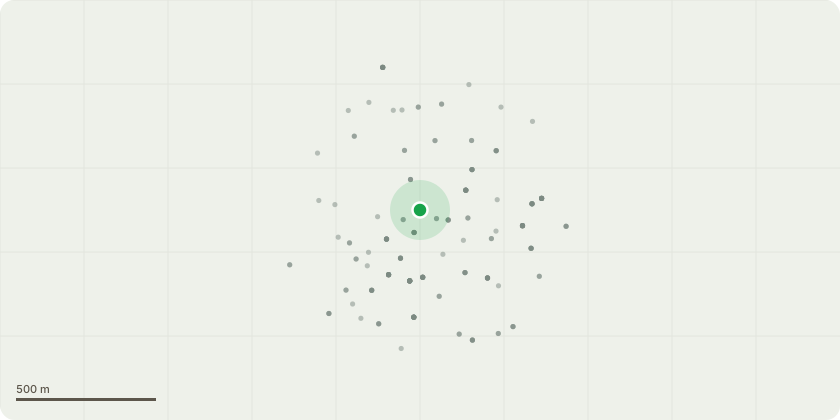
Approximate location
Proposal
FRONT: TWO Lime (T1,T2)(approx.ht.6-8m) FELL and replace with 2 smaller tree species such as magnolia or cherry. REASON: (1) Repeat maintenance required to pollard them each year, (2) they have caused extensive damage to the wall of our front garden (3) the height of the trees is a safety concern; they come right to the top of the second floor of the house. Informative A: to thank for the proposed replacement tree planting for urban greening amenity, wildlife habitat, to reduce air pollution, to cool temperatures in increasingly high summer heatwaves due to climate change. Informative B: suggested replacement species, magnolia, crab apple, hawthorn, hazel, winter flowering cherry, Orange Bark Myrtle, witch hazel, elder, Cornus mas. Informative C: please spread bark mulch around the base of the new trees clear of the stem, with watering regime to drench thoroughly with 25 litres at least fortnightly from beg April-end Sept for 5yrs whatever the weather. Informative D: please create habitat log piles with arisings for wildlife and biodiversity.
Key dates
- Received 20 Jan 2026
- Validated 2 Feb 2026
- Started 2 Feb 2026
- Decided 2 Mar 2026
Planning history / related applications
No related planning applications have been identified in the current public OGL dataset.
Inside plotEdge
Go beyond the public record
This page is the public OGL record. plotEdge adds the private intelligence layer for this site - open it in the app to unlock:
- Ownership & title Registered owner and title from HM Land Registry.
- Viability & build potential Site scoring and development upside.
- Constraints Flood risk, green belt, conservation areas and designations.
- Approval signal Planning risk and approval-likelihood analysis.
- Comparable applications Decisions on similar nearby sites, side by side.
- Status alerts Get notified the moment this application changes.
Source: public planning application data from Lewisham, reused under the Open Government Licence v3.0. View the council source record. Council documents and drawings are not republished on plotEdge.