Lewisham
Lewisham/DC/25/142454
REAR OF, 33 LOWTHER HILL, LONDON, SE23 1PZ
- Reference
- Lewisham/DC/25/142454
- Authority
- Lewisham
- Address
- REAR OF, 33 LOWTHER HILL, LONDON, SE23 1PZ
- Postcode
- SE23 1PZ
- Status
- Unknown
- Decision
- Granted
- Received
- 16 Dec 2025
- Validated
- 14 Jan 2026
- Started
- 14 Jan 2026
- Decided
- 10 Mar 2026
- Source council
- Lewisham
- Council source record
- View public record
- Public data licence
- Open Government Licence v3.0
- Record updated
- 18 Jul 2026
- SEO index generated
- 24 Jul 2026
Location
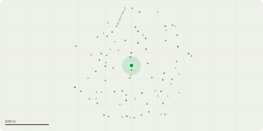
Approximate location
Proposal
REAR (nos.35-41): THREE Cherry (ht.5m), ONE twin-stemmed Ash (ht.15m) (G1)(in T43 in TPO) FELL 3x Cherry, MONOLITH 1x twin-stemmed Ash to approx.ht.8m for health & safety, wildlife and biodiversity. Reason: ash has included fork at the base, previously periodically pollarded but replacement is now best long-term option. All three Cherry have progressive die-back in the crown symptomatic of declining physiological condition, to replant with four trees to improve the diversity and resilience of tree stock. REAR (no.33): ONE dead Cherry (T1)(in T43 in TPO)(ht.6m) FELL.Reason: the tree has died, another Cherry will be planted as a replacement. REAR (no.19): ONE Horse chestnut (T2)(in T43 in TPO) HEIGHT REDUCE by 3m from 14m to ht.11m. Reason: the leader is showing dieback & bark is peeling from the stem, to shape canopy, pruning to suitable points for natural aesthetic. REAR (no.13): ONE Lime (T3)(in T43 in TPO)(ht.15m) FELL.Reason: large cavity at crown break, health & safety, a heavy reduction would be required but replacement is the better long-term option, to replant to improve the diversity and resilience of tree stock. REAR (no.5): ONE Lime (T4)(in T43 in TPO)(ht.7m) CROWN REDUCE HEIGHT by 1m from 7m to 6m, REDUCE SPREAD by 2m from 7m to 5m.Reason: to shape canopy, pruning to suitable points for natural aesthetic. The London Borough of Lewisham (Brockley Hill) Tree Preservation Order 1973.The Council GRANTS the following AMENDED tree works to monolith Ash in G1 as agreed in agents telephone call 23.2.26, following Tree Officer email 19.2.26 for replacement tree planting condition and to encourage retaining deadwood:Informative A: Lime T3 - a heavy reduction rather than fell is encouraged as well as replacement planting ahead of final demise for amenity, wildlife and biodiversity. Informative B: G1 Ash -monolith management rather than fell is greatly appreciated for wildlife and biodiversity. Informative C: please retain safe dead standing, old and misshapen trees to retain age diversity, understorey trees and shrubs for woodland character, visual interest and to maximise wildlife habitats. Informative D: condition to replace the 6 fells close to the locations of the original trees, 5x in the upper plateau for G1 and T1, the 1x near location T3: 3x mixed large canopy species selected from: Sweet Chestnut, Indian Horse chestnut, Japanese Pagoda Tree, Koelreuteria paniculata, Caucasian wingnut (Pterocarya fraxinifolia), wild service tree, Caucasian elm (Zelkova carpinifolia) and 3x mixed medium sized tree species selected from: Cobnut, mulberry, medlar, rowan, pear, apple, crab apple. Reason: to retain tree canopy cover for amenity, wildlife and shade to reduce increasingly high summer temperatures due to climate change; Informative E: please create habitat log piles with arisings for wildlife and biodiversity. Informative F: The Bat Conservation Trust advises checking thoroughly for roosting bats before and during tree works with soft fell, proceed with care and leave cut timber grounded over night to allow any bats to make their way out, tree works ideally during Sept/Oct to avoid maternity and hibernation seasons when bats are most vulnerable to disturbance.
Key dates
- Received 16 Dec 2025
- Validated 14 Jan 2026
- Started 14 Jan 2026
- Decided 10 Mar 2026
Planning history / related applications
No related planning applications have been identified in the current public OGL dataset.
Inside plotEdge
Go beyond the public record
This page is the public OGL record. plotEdge adds the private intelligence layer for this site - open it in the app to unlock:
- Ownership & title Registered owner and title from HM Land Registry.
- Viability & build potential Site scoring and development upside.
- Constraints Flood risk, green belt, conservation areas and designations.
- Approval signal Planning risk and approval-likelihood analysis.
- Comparable applications Decisions on similar nearby sites, side by side.
- Status alerts Get notified the moment this application changes.
Source: public planning application data from Lewisham, reused under the Open Government Licence v3.0. View the council source record. Council documents and drawings are not republished on plotEdge.